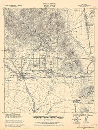
1952 Map of Stark
USGS Topo · Published 1973About this map
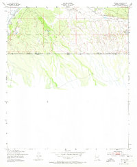
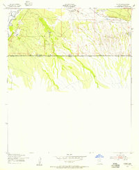
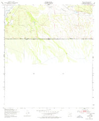
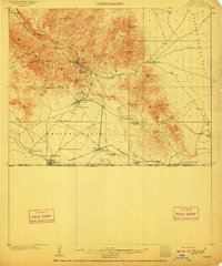
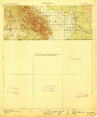
The United States-Mexico border dominates the southern half of this 1952 Army Map Service survey, depicting the high-desert terrain of Cochise County just as early-century ranching patterns persisted. The Southern Pacific railroad cuts across the northern landscape, passing through the settlement of Stark and near the Valley View Ranch. These rail lines were crucial for the movement of cattle and minerals through the San Pedro valley, connecting isolated ranching outposts like the S-O Ranch to wider markets.
Find a feature on this map
17 named features on this map. Tap any name to fly to it.
Don’t see what you’re looking for? This feature index may not catch every label — zoom into the map to look around manually.
Map Details
Editions of this 1952 Stark Map
3 editions found
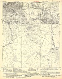
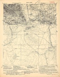
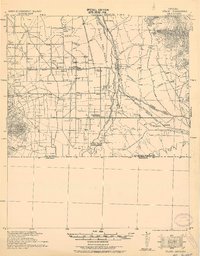
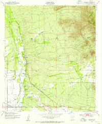
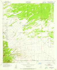
Other maps of this area
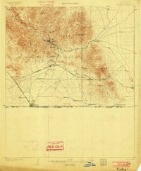
1902 · Bisbee
USGS Topo · 1:62,500
1910 · Bisbee
USGS Topo · 1:62,500
1914 · Hereford
USGS Topo · 1:125,000
1916 · Douglas
USGS Topo · 1:125,000
1919 · Douglas
USGS Topo · 1:125,000
1927 · Bisbee
USGS Topo · 1:62,500
1932 · Stark
USGS Topo · 1:62,500

1933 · Bisbee
USGS Topo · 1:62,500
1952 · Hereford
USGS Topo · 1:24,000
1952 · Nicksville
USGS Topo · 1:24,000