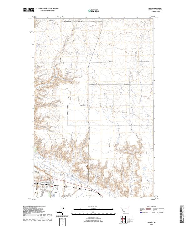
2024 Map of Nashua
USGS Topo · Published 2024About this map
Nashua sits at the confluence of the Milk River and Porcupine Creek, anchoring a landscape shaped by the riparian patterns of the Montana plains. The town's grid is detailed with street names like Front St, Sargent St, and Nashua Blvd, showing the residential and commercial layout north of the river. To the west, the Nashua Cem is accessible via Nashua Cemetery Rd, while the surrounding territory is defined by the deep incisions of Ivy Coulee and the drainage of Porcupine Creek-Overflow.
Find a feature on this map
29 named features on this map. Tap any name to fly to it.
Don’t see what you’re looking for? This feature index may not catch every label — zoom into the map to look around manually.
Map Details
Editions of this 2024 Nashua Map
This is the sole edition of this map. No revisions or reprints were ever made.
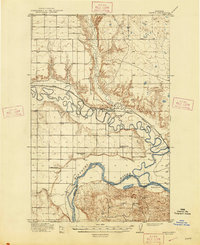
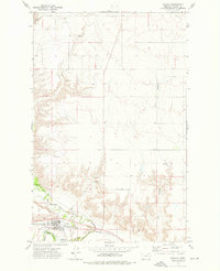
Historical Maps of Frazer District Through Time
4 maps found