2022 Map of Nassawadox
USGS Topo · Published 2022About this map
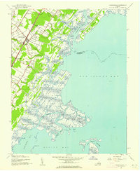
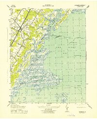
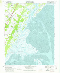
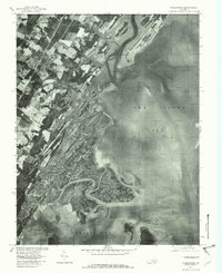
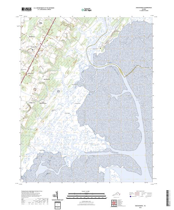
Nassawadox and its neighboring villages sit at the heart of the Virginia Eastern Shore, where agricultural fields transition into an intricate network of tidal marshes and creeks. This coastal landscape is defined by the Machipongo River and the expansive Gull Marsh, a labyrinth of water bodies including the Ramshorn and Powells Channel. Small settlements like Weirwood, Middletown, and Hare Valley are connected by a grid of rural roads and historical routes such as Bayside Rd and Seaside Rd.
Find a feature on this map
72 named features on this map. Tap any name to fly to it.
Don’t see what you’re looking for? This feature index may not catch every label — zoom into the map to look around manually.
Map Details
Editions of this 2022 Nassawadox Map
This is the sole edition of this map. No revisions or reprints were ever made.
Historical Maps of Woodstock Through Time
5 maps found