Loading...
Loading map...2022 Map of Natoma
USGS Topo · Published 2022About this map
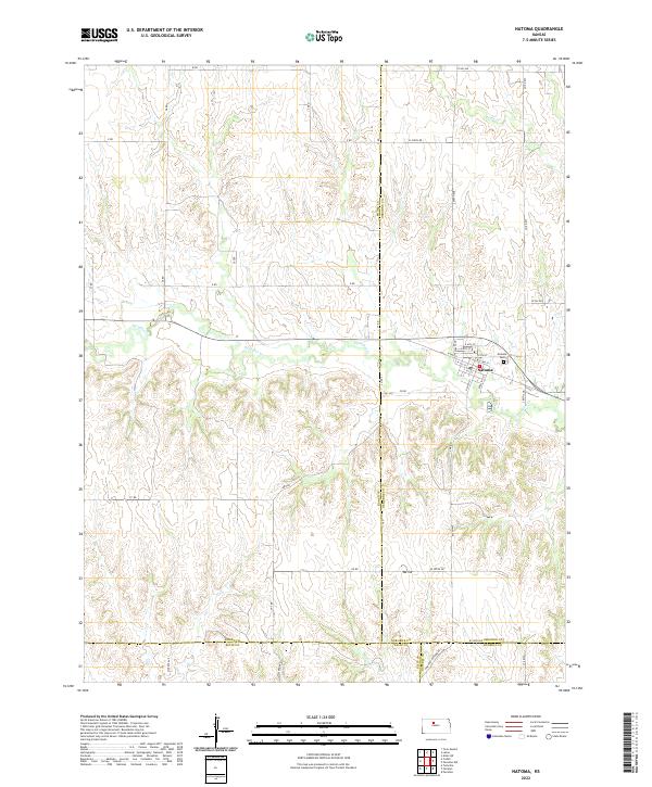
Natoma serves as the central hub of this agricultural landscape in north-central Kansas, situated at the intersection of several county lines. The town’s organized grid includes distinctive thoroughfares like Koelling St and S Main St, while the Natoma Cem lies on the eastern edge near the winding course of Paradise Cr. This watercourse, along with Eagle Cr further north, carves out the drainage patterns across the terrain, which rises to the modest height of Mt Os.
Find a feature on this map
53 named features on this map. Tap any name to fly to it.
Don’t see what you’re looking for? This feature index may not catch every label — zoom into the map to look around manually.
Map Details
Date Portrayed2022
Date Published2022
PublisherU.S. Geological Survey
Map TypeTopographic
Scale1:24000
Physical Dimensions24 x 29 inches
Editions of this 2022 Natoma Map
This is the sole edition of this map. No revisions or reprints were ever made.
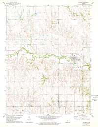
Historical Maps of Ellis County Through Time
Featured Locations
Source Details
SourceU.S. Geological Survey
CopyrightPublic Domain