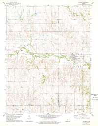
1978 Map of Natoma
USGS Topo · Published 1979About this map
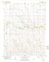
Natoma serves as the primary hub of this 1970s landscape, situated along the Union Pacific railroad line where it skirts Paradise Creek. The topography is defined by the sharp transition from the valley floor up to prominent heights like Round Mound in the northeast. This era of the Kansas plains shows a clear economic reliance on natural resources, evidenced by the extensive Oil Field operations, individual Oil Wells, and several Quarries scattered throughout the territory. Local history is anchored by sites such as the Conger Cem west of town and the smaller Cem located just north of the village center. The map also records early environmental infrastructure, including a designated Sewage Disposal area and a Roadside Park along the highway, illustrating the community's mid-century growth and civic planning near the borders of Rooks, Osborne, Ellis, and Russell counties.
Find a feature on this map
24 named features on this map. Tap any name to fly to it.
Don’t see what you’re looking for? This feature index may not catch every label — zoom into the map to look around manually.
Map Details
Editions of this 1978 Natoma Map
This is the sole edition of this map. No revisions or reprints were ever made.
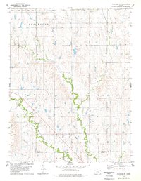
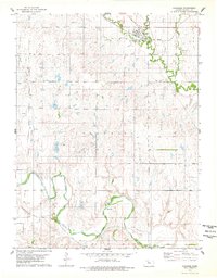
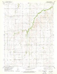
Other maps of this area

1896 · Osborne
USGS Topo · 1:125,000

1896 · Plainville
USGS Topo · 1:125,000

1955 · Beloit
USGS Topo · 1:250,000

1959 · Beloit
USGS Topo · 1:250,000
1978 · Paradise NW
USGS Topo · 1:24,000
1978 · Paradise
USGS Topo · 1:24,000
1978 · Alton SW
USGS Topo · 1:24,000
1978 · Codell
USGS Topo · 1:24,000

1978 · Twin Mound
USGS Topo · 1:24,000

1978 · Turkville
USGS Topo · 1:24,000