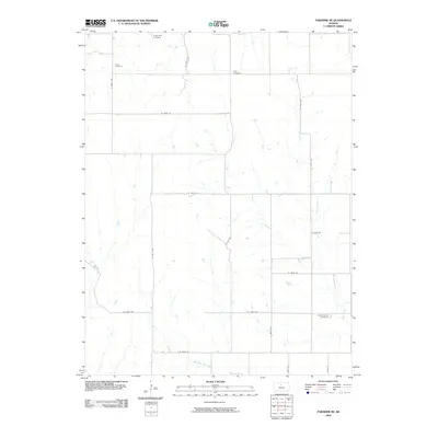
1978 Map of Paradise NW
USGS Topo · Published 1979About this map
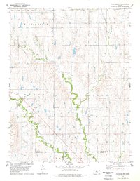
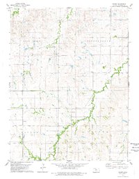
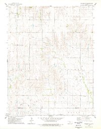
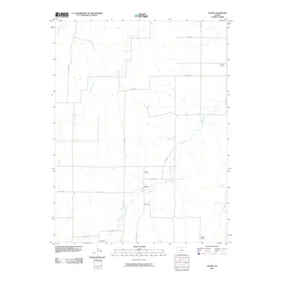
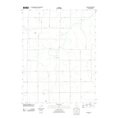
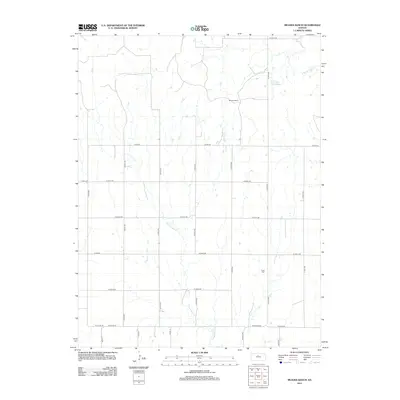
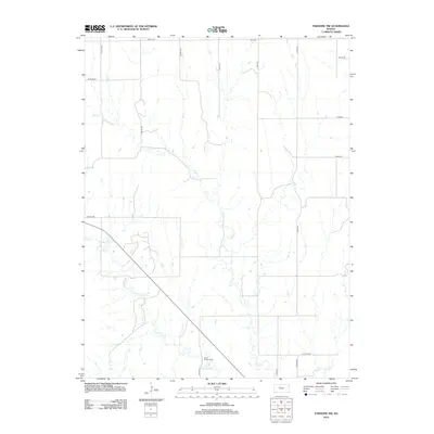
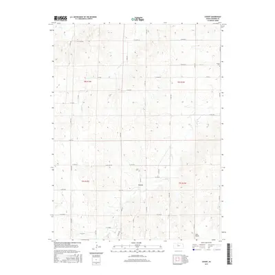
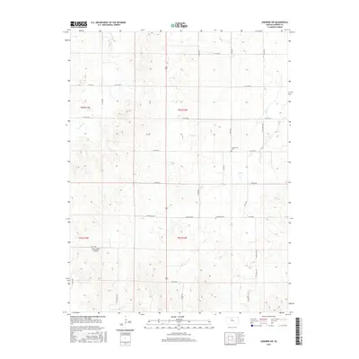
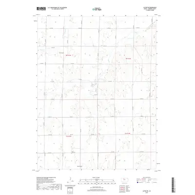
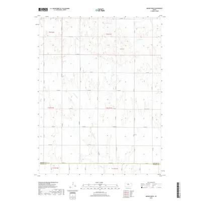
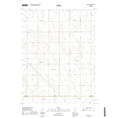
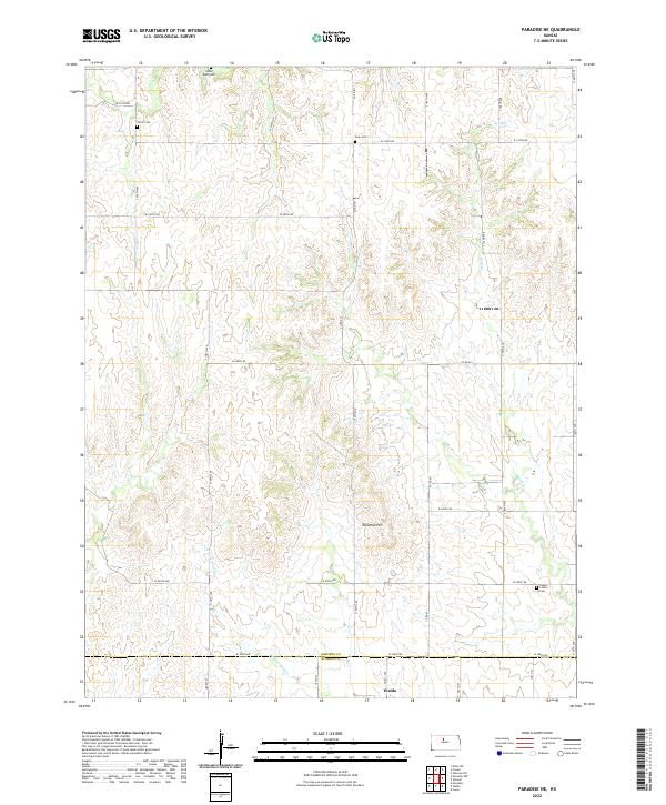
Eagle Creek and Paradise Creek meander through the prairie landscape of Central Kansas, defining the township lines between Natoma, Liberty, and Victor. The terrain is characterized by broad elevations like Round Mound and the deep incisions of the creek beds. Human activity is marked by the presence of an Oil Field and the diagonal path of the Union Pacific railroad, which skirts the boundary of Paradise. For those tracing local history or family heritage, the map identifies small, significant sites such as I X L Cem and Mt Herman Cem, providing clear evidence of the community's early rural footprint. This survey, compiled from 1974 aerial photography, shows the area as it transitioned into the late 1970s, maintaining its agricultural and energy-production roots.
Find a feature on this map
13 named features on this map. Tap any name to fly to it.
Don’t see what you’re looking for? This feature index may not catch every label — zoom into the map to look around manually.
Map Details
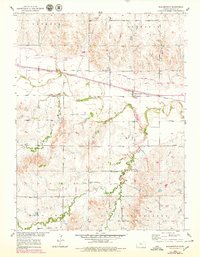
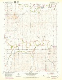
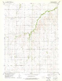
Editions of this 1978 Paradise NW Map
This is the sole edition of this map. No revisions or reprints were ever made.
Historical Maps of Osborne County Through Time
60 maps found
1953 Bloomington
Osborne County, KS
1953 Downs South
Osborne County, KS
1978 Alton SW
Osborne County, KS
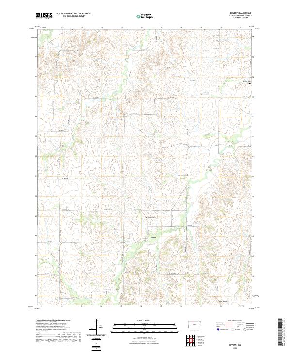
1978 Covert
Osborne County, KS
1978 Meades Ranch
Osborne County, KS
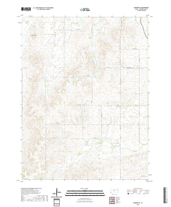
1978 Osborne SE
Osborne County, KS
1978 Osborne SW
Osborne County, KS
1978 Paradise NE
Osborne County, KS
1978 Paradise NW
Osborne County, KS
1978 Vincent
Osborne County, KS
2009 Alton SW
Osborne County, KS
2009 Bloomington
Osborne County, KS
2009 Covert
Osborne County, KS
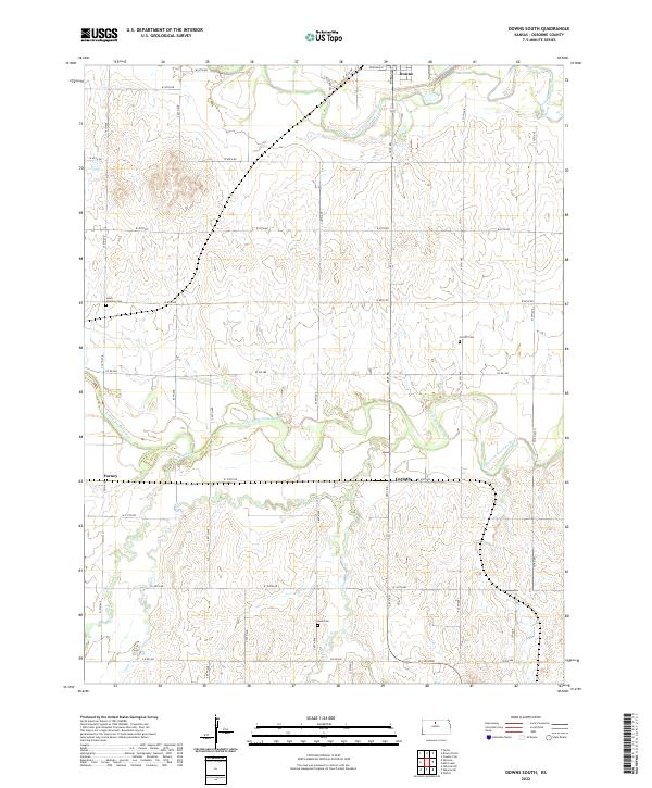
2009 Downs South
Osborne County, KS
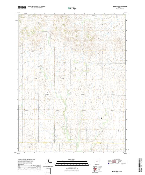
2009 Meades Ranch
Osborne County, KS
2009 Osborne SW
Osborne County, KS
2009 Paradise NE
Osborne County, KS
2009 Vincent
Osborne County, KS
2010 Osborne SE
Osborne County, KS
2010 Paradise NW
Osborne County, KS
2012 Alton SW
Osborne County, KS
2012 Bloomington
Osborne County, KS
2012 Covert
Osborne County, KS
2012 Downs South
Osborne County, KS
2012 Meades Ranch
Osborne County, KS
2012 Osborne SE
Osborne County, KS
2012 Osborne SW
Osborne County, KS
2012 Paradise NE
Osborne County, KS
2012 Paradise NW
Osborne County, KS
2012 Vincent
Osborne County, KS
2015 Alton SW
Osborne County, KS
2015 Bloomington
Osborne County, KS
2015 Covert
Osborne County, KS
2015 Downs South
Osborne County, KS
2015 Meades Ranch
Osborne County, KS
2015 Osborne SE
Osborne County, KS
2015 Osborne SW
Osborne County, KS
2015 Paradise NE
Osborne County, KS
2015 Paradise NW
Osborne County, KS
2015 Vincent
Osborne County, KS
2018 Alton SW
Osborne County, KS
2018 Bloomington
Osborne County, KS
2018 Covert
Osborne County, KS
2018 Downs South
Osborne County, KS
2018 Meades Ranch
Osborne County, KS
2018 Osborne SE
Osborne County, KS
2018 Osborne SW
Osborne County, KS
2018 Paradise NE
Osborne County, KS
2018 Paradise NW
Osborne County, KS
2018 Vincent
Osborne County, KS
2022 Alton SW
Osborne County, KS
2022 Bloomington
Osborne County, KS
2022 Covert
Osborne County, KS
2022 Downs South
Osborne County, KS
2022 Meades Ranch
Osborne County, KS
2022 Osborne SE
Osborne County, KS
2022 Osborne SW
Osborne County, KS
2022 Paradise NE
Osborne County, KS
2022 Paradise NW
Osborne County, KS
2022 Vincent
Osborne County, KS