
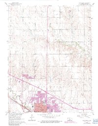
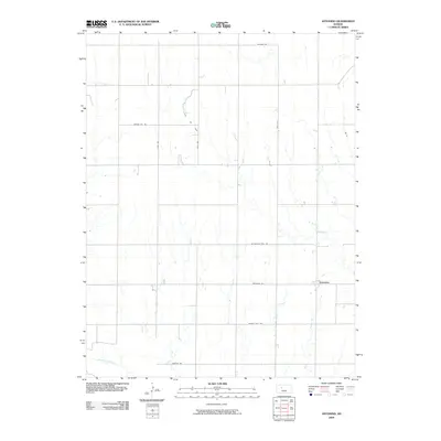
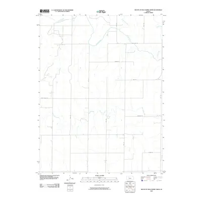
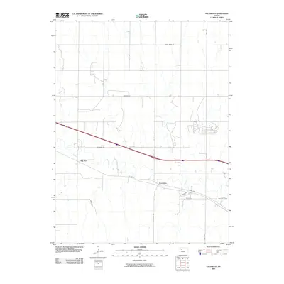
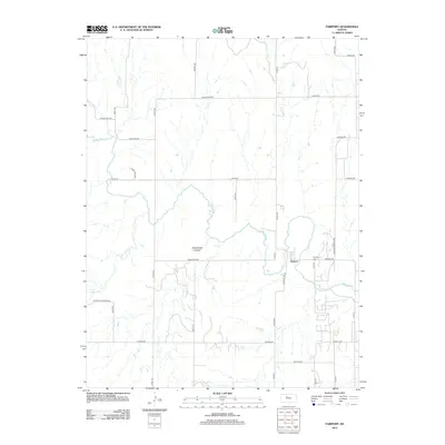
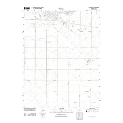
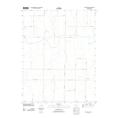
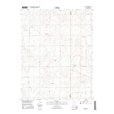
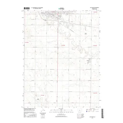
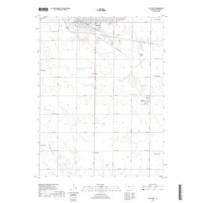
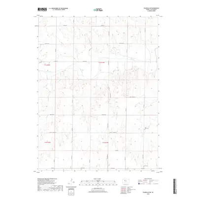
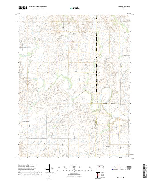
1978 Map of Fairport
USGS Topo · Published 1979About this map
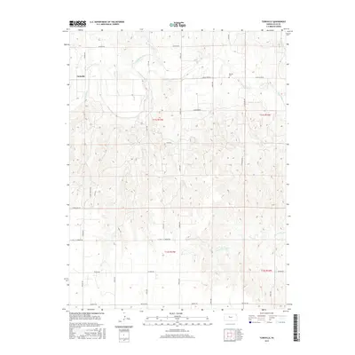
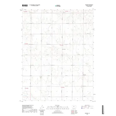
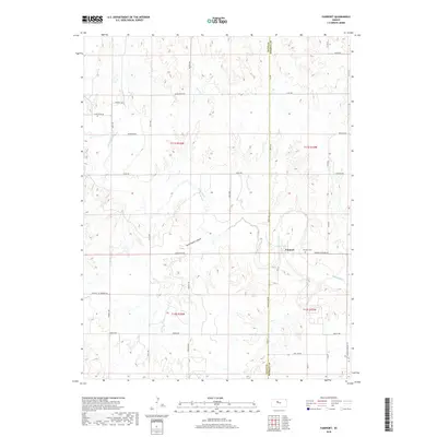
The Saline River winds through this central Kansas landscape, carving a distinct valley between the townships of Catherine, Herzog, and Paradise. This late 1970s survey documents the intensive energy extraction in the region, dominated by the Fairport Field and various Oil Wells scattered across the high ground. The small settlement of Fairport sits at a sharp bend in the river, adjacent to a local Cem and gravel extraction sites, serving as a focal point for the surrounding rural sections.
Find a feature on this map
15 named features on this map. Tap any name to fly to it.
Don’t see what you’re looking for? This feature index may not catch every label — zoom into the map to look around manually.
Map Details
Editions of this 1978 Fairport Map
This is the sole edition of this map. No revisions or reprints were ever made.
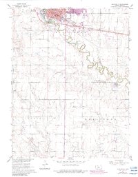
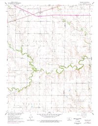
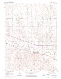
Historical Maps of Fairport Through Time
72 maps found

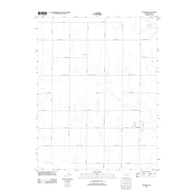
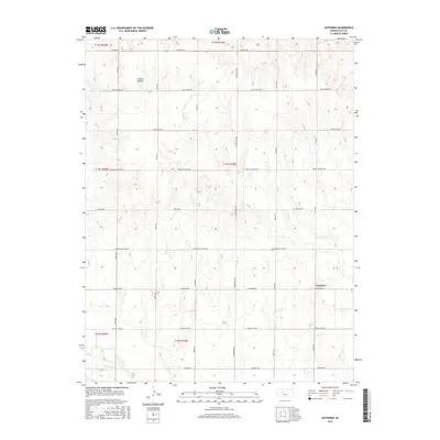
1961 Antonino
Ellis County, KS
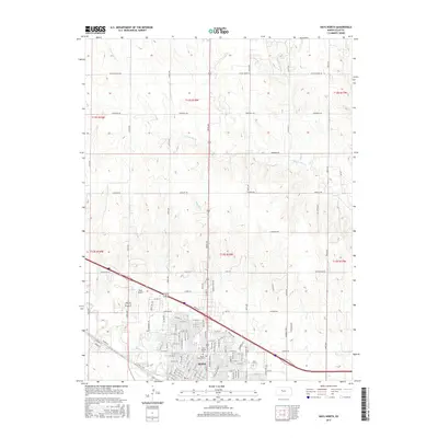
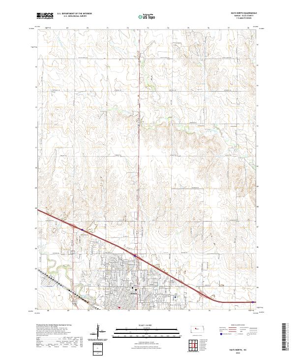
1961 Hays North
Ellis County, KS
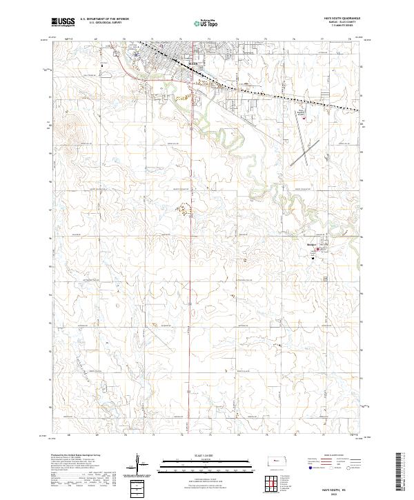
1961 Hays South
Ellis County, KS
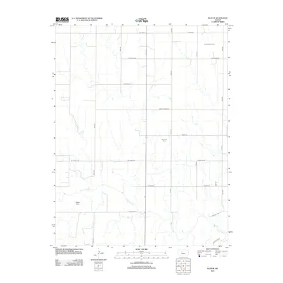
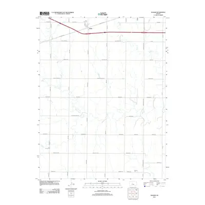
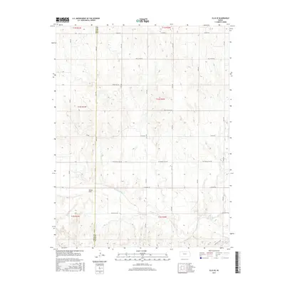
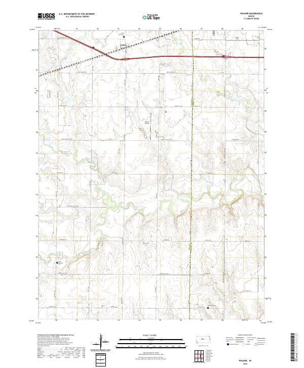
1961 Walker
Ellis County, KS
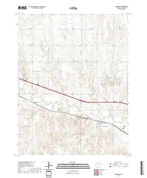
1961 Yocemento
Ellis County, KS

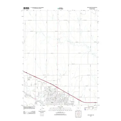
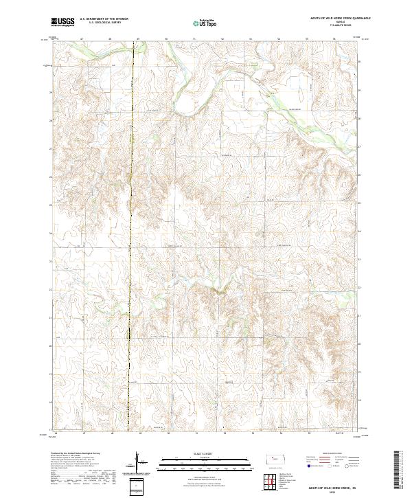
1963 Mouth of Wild Horse Creek
Ellis County, KS

1974 Ellis SE
Ellis County, KS
1978 Fairport
Ellis County, KS

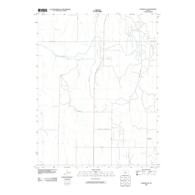
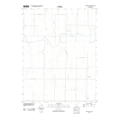
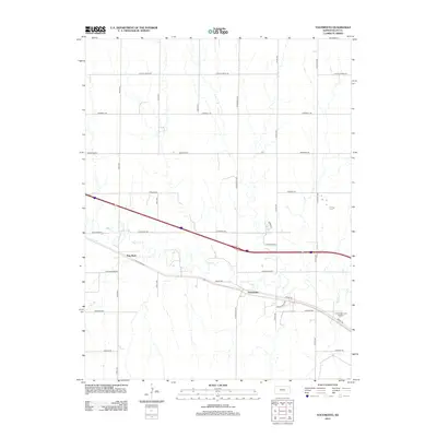
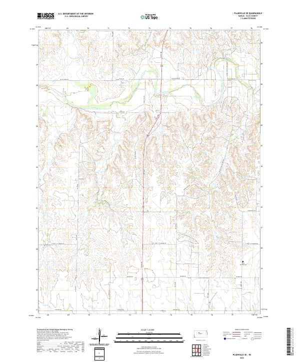
1978 Plainville SE
Ellis County, KS

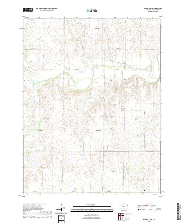
1978 Plainville SW
Ellis County, KS

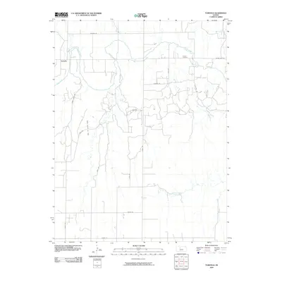
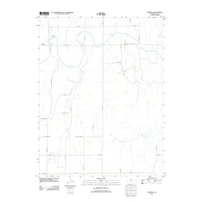
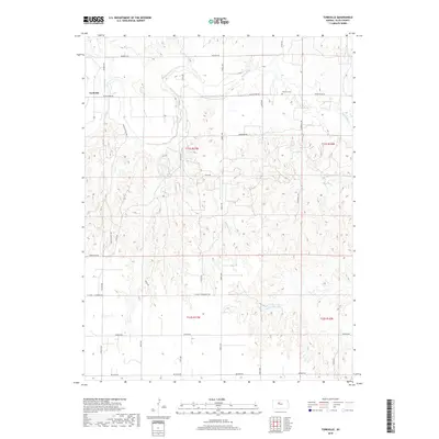
1978 Turkville
Ellis County, KS

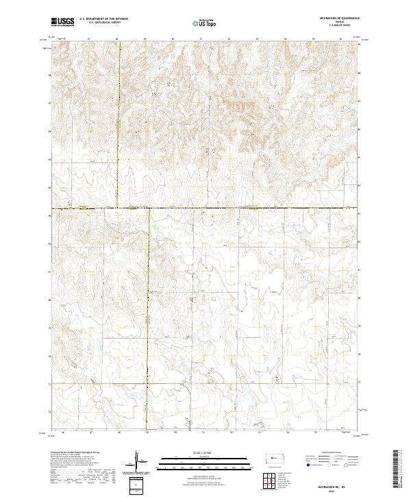
1980 Mc Cracken NE
Ellis County, KS
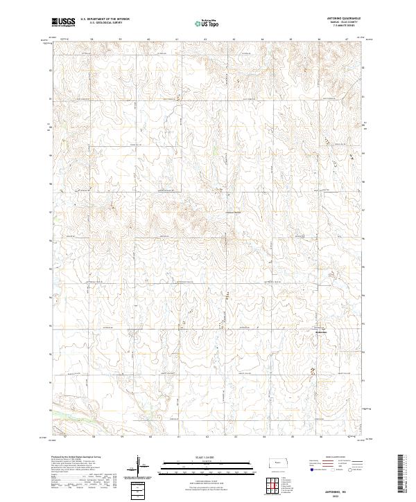
2009 Antonino
Ellis County, KS
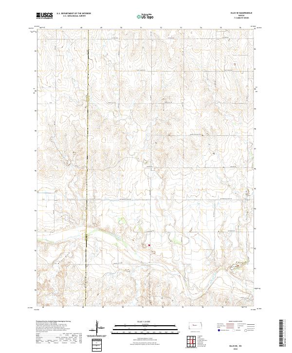
2009 Ellis SE
Ellis County, KS
2009 Fairport
Ellis County, KS
2009 McCracken NE
Ellis County, KS
2009 Mouth of Wild Horse Creek
Ellis County, KS
2009 Plainville SE
Ellis County, KS
2009 Plainville SW
Ellis County, KS
2009 Turkville
Ellis County, KS
2009 Yocemento
Ellis County, KS
2010 Hays North
Ellis County, KS
2010 Hays South
Ellis County, KS
2010 Walker
Ellis County, KS
2012 Antonino
Ellis County, KS
2012 Ellis SE
Ellis County, KS
2012 Fairport
Ellis County, KS
2012 Hays North
Ellis County, KS
2012 Hays South
Ellis County, KS
2012 McCracken NE
Ellis County, KS
2012 Mouth of Wild Horse Creek
Ellis County, KS
2012 Plainville SE
Ellis County, KS
2012 Plainville SW
Ellis County, KS
2012 Turkville
Ellis County, KS
2012 Walker
Ellis County, KS
2012 Yocemento
Ellis County, KS
2015 Antonino
Ellis County, KS
2015 Ellis SE
Ellis County, KS
2015 Fairport
Ellis County, KS
2015 Hays North
Ellis County, KS
2015 Hays South
Ellis County, KS
2015 McCracken NE
Ellis County, KS
2015 Plainville SE
Ellis County, KS
2015 Plainville SW
Ellis County, KS
2015 Turkville
Ellis County, KS
2015 Walker
Ellis County, KS
2016 Mouth of Wild Horse Creek
Ellis County, KS
2016 Yocemento
Ellis County, KS
2018 Antonino
Ellis County, KS
2018 Ellis SE
Ellis County, KS
2018 Fairport
Ellis County, KS
2018 Hays North
Ellis County, KS
2018 Hays South
Ellis County, KS
2018 McCracken NE
Ellis County, KS
2018 Mouth of Wild Horse Creek
Ellis County, KS
2018 Plainville SE
Ellis County, KS
2018 Plainville SW
Ellis County, KS
2018 Turkville
Ellis County, KS
2018 Walker
Ellis County, KS
2018 Yocemento
Ellis County, KS
2022 Antonino
Ellis County, KS
2022 Ellis SE
Ellis County, KS
2022 Fairport
Ellis County, KS
2022 Hays North
Ellis County, KS
2022 Hays South
Ellis County, KS
2022 McCracken NE
Ellis County, KS
2022 Mouth of Wild Horse Creek
Ellis County, KS
2022 Plainville SE
Ellis County, KS
2022 Plainville SW
Ellis County, KS

2022 Turkville
Ellis County, KS
2022 Walker
Ellis County, KS
2022 Yocemento
Ellis County, KS