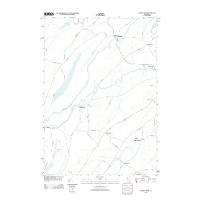
2013 Map of Natural Dam
USGS Topo · Published 2013About this map
The Oswegatchie River defines the landscape of this northern New York region, winding past historical settlements and crossing under the Oswegatchie River Bridge near Elmdale. This modern survey illustrates a quiet agricultural and riverside economy, where local landmarks like Wilhome Dairy Farms sit alongside established crossroads like Somerville and Oxbow. The geography is shaped by water, with Yellow Lake to the west and the meandering paths of Malterna Cr and Matoon Cr feeding into the main river system.
Find a feature on this map
68 named features on this map. Tap any name to fly to it.
Don’t see what you’re looking for? This feature index may not catch every label — zoom into the map to look around manually.
Map Details
Editions of this 2013 Natural Dam Map
This is the sole edition of this map. No revisions or reprints were ever made.
Other maps of this area

1911 · Antwerp
USGS Topo · 1:62,500

1912 · Hammond
USGS Topo · 1:62,500

1913 · Lake Bonaparte
USGS Topo · 1:62,500

1915 · Gouverneur
USGS Topo · 1:62,500

1916 · Lake Bonaparte
USGS Topo · 1:62,500

1937 · Gouverneur
USGS Topo · 1:62,500

1944 · Hammond
USGS Topo · 1:62,500

1948 · Ogdensburg
USGS Topo · 1:250,000

1949 · Hammond
USGS Topo · 1:62,500

1949 · Antwerp
USGS Topo · 1:62,500