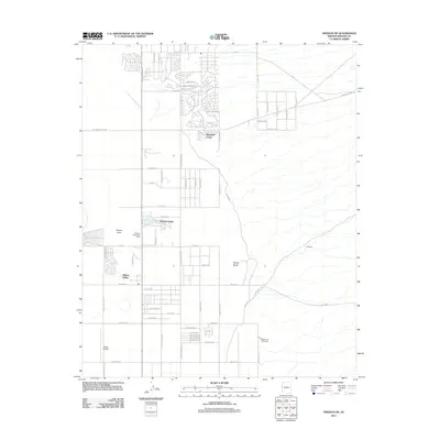
2011 Map of Needles NE
USGS Topo · Published 2011About this map
Mohave Valley serves as the central hub of this 2011 residential and recreational landscape along the Colorado River corridor. The map reveals the structured development of communities like Mesquite Creek and Willow Valley, where a dense grid of streets—including Calle Madrid and Corte Solana—reaches into the desert. This era of growth is anchored by essential local infrastructure, such as the Mohave Valley Post Office and the Desert Lawn Cemetery to the south.
Find a feature on this map
63 named features on this map. Tap any name to fly to it.
Don’t see what you’re looking for? This feature index may not catch every label — zoom into the map to look around manually.
Map Details
Editions of this 2011 Needles NE Map
This is the sole edition of this map. No revisions or reprints were ever made.
Other maps of this area

1886 · Camp Mohave
USGS Topo · 1:250,000

1892 · Camp Mohave
USGS Topo · 1:250,000

1903 · Needles
USGS Topo · 1:125,000

1904 · Needles Special
USGS Topo · 1:125,000

1926 · Mohave City
USGS Topo · 1:96,000

1942 · Camp Mohave
USGS Topo · 1:250,000

1947 · Kingman
USGS Topo · 1:250,000

1948 · Kingman
USGS Topo · 1:250,000

1950 · Davis Dam
USGS Topo · 1:62,500

1950 · Needles
USGS Topo · 1:62,500