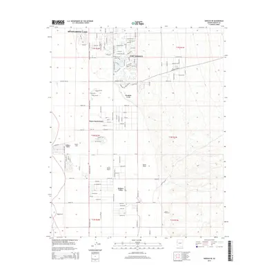
2014 Map of Needles NE
USGS Topo · Published 2014About this map
Fort Mohave and the surrounding residential developments characterize this desert corridor along the Colorado River during the early 21st century. The landscape is a mix of established irrigation-influenced settlements and newer subdivisions like Mojave Ranch Estates and Willow Valley, illustrating the modern expansion of the Mohave Valley. Infrastructure such as Eagle Airpark and major thoroughfares like Boundary Cone Rd facilitate connectivity across the arid terrain. Natural features and water bodies, including Cimarron Lake and Spannabone Lake, provide distinct landmarks against the backdrop of the Mojave Desert. The map captures a period of growth where desert land meets residential planning, anchored by communal sites like the Desert Lawn Cem and leisure spots such as Squaw Beach.
Find a feature on this map
21 named features on this map. Tap any name to fly to it.
Don’t see what you’re looking for? This feature index may not catch every label — zoom into the map to look around manually.
Map Details
Editions of this 2014 Needles NE Map
This is the sole edition of this map. No revisions or reprints were ever made.
Other maps of this area

1886 · Camp Mohave
USGS Topo · 1:250,000

1892 · Camp Mohave
USGS Topo · 1:250,000

1903 · Needles
USGS Topo · 1:125,000

1904 · Needles Special
USGS Topo · 1:125,000

1926 · Mohave City
USGS Topo · 1:96,000

1942 · Camp Mohave
USGS Topo · 1:250,000

1947 · Kingman
USGS Topo · 1:250,000

1948 · Kingman
USGS Topo · 1:250,000

1950 · Davis Dam
USGS Topo · 1:62,500

1950 · Needles
USGS Topo · 1:62,500