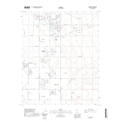
2021 Map of Needles NE
USGS Topo · Published 2021About this map
Mohave Valley serves as a focal point for modern residential and recreational growth along the Colorado River corridor in this recent 2021 study. The landscape is characterized by a mix of planned communities like Mojave Ranch Estates and Willow Valley, which sit alongside the vast Mojave Desert. This era shows a high density of named roads such as Boundary Cone Rd and Everglades Blvd, reflecting the area's development into a hub for aviation and leisure. Both the Willow Valley Airport and Eagle Airpark highlight the significance of private flight in this desert region. Water features like Spears Lake and Mesquite Creek provide distinct contrast to the surrounding arid terrain, while the presence of Desert Lawn Cem and Squaw Beach offer landmarks for local history and community geography.
Find a feature on this map
140 named features on this map. Tap any name to fly to it.
Don’t see what you’re looking for? This feature index may not catch every label — zoom into the map to look around manually.
Map Details
Editions of this 2021 Needles NE Map
This is the sole edition of this map. No revisions or reprints were ever made.
Other maps of this area

1886 · Camp Mohave
USGS Topo · 1:250,000

1892 · Camp Mohave
USGS Topo · 1:250,000

1903 · Needles
USGS Topo · 1:125,000

1904 · Needles Special
USGS Topo · 1:125,000

1926 · Mohave City
USGS Topo · 1:96,000

1942 · Camp Mohave
USGS Topo · 1:250,000

1947 · Kingman
USGS Topo · 1:250,000

1948 · Kingman
USGS Topo · 1:250,000

1950 · Davis Dam
USGS Topo · 1:62,500

1950 · Needles
USGS Topo · 1:62,500