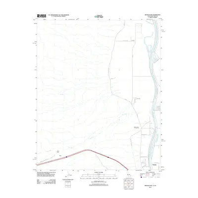
2012 Map of Needles NW
USGS Topo · Published 2012About this map
The Colorado River forms the eastern boundary of this desert landscape, dividing California from Arizona in a reach characterized by shifting channels and floodplains. Just north of the growing town of Needles, the terrain transitions from the low-lying Piute Valley to the higher elevations where Red Spring provides a rare water source in the arid expanse. The transportation network is a central theme of the area, featuring the historic path of the National Old Trails HWY as it cuts through the southern portion of the sheet near the small settlement of Java.
Find a feature on this map
29 named features on this map. Tap any name to fly to it.
Don’t see what you’re looking for? This feature index may not catch every label — zoom into the map to look around manually.
Map Details
Editions of this 2012 Needles NW Map
This is the sole edition of this map. No revisions or reprints were ever made.
Other maps of this area

1886 · Camp Mohave
USGS Topo · 1:250,000

1892 · Camp Mohave
USGS Topo · 1:250,000

1903 · Needles
USGS Topo · 1:125,000

1904 · Needles Special
USGS Topo · 1:125,000

1926 · Mohave City
USGS Topo · 1:96,000

1942 · Camp Mohave
USGS Topo · 1:250,000

1943 · Bannock
USGS Topo · 1:62,500

1947 · Kingman
USGS Topo · 1:250,000

1948 · Kingman
USGS Topo · 1:250,000

1950 · Davis Dam
USGS Topo · 1:62,500