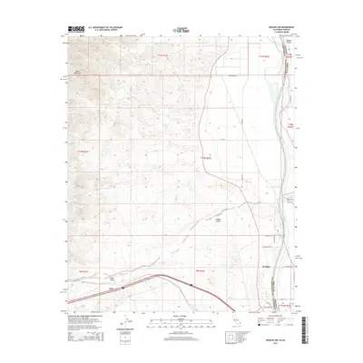
2015 Map of Needles NW
USGS Topo · Published 2015About this map
The Colorado River forms a sharp geographic and political boundary here, separating San Bernardino Co, California from Mohave Co, Arizona. To the west, the arid expanse of the Mojave Desert is defined by the steep rises of the Dead Mountains and the broad drainage of the Piute Wash, which cuts through the Piute Valley. This landscape reflects a mix of rugged desert terrain and the vital water corridor that has long shaped regional transport.
Find a feature on this map
28 named features on this map. Tap any name to fly to it.
Don’t see what you’re looking for? This feature index may not catch every label — zoom into the map to look around manually.
Map Details
Editions of this 2015 Needles NW Map
This is the sole edition of this map. No revisions or reprints were ever made.
Other maps of this area

1886 · Camp Mohave
USGS Topo · 1:250,000

1892 · Camp Mohave
USGS Topo · 1:250,000

1903 · Needles
USGS Topo · 1:125,000

1904 · Needles Special
USGS Topo · 1:125,000

1926 · Mohave City
USGS Topo · 1:96,000

1942 · Camp Mohave
USGS Topo · 1:250,000

1943 · Bannock
USGS Topo · 1:62,500

1947 · Kingman
USGS Topo · 1:250,000

1948 · Kingman
USGS Topo · 1:250,000

1950 · Davis Dam
USGS Topo · 1:62,500