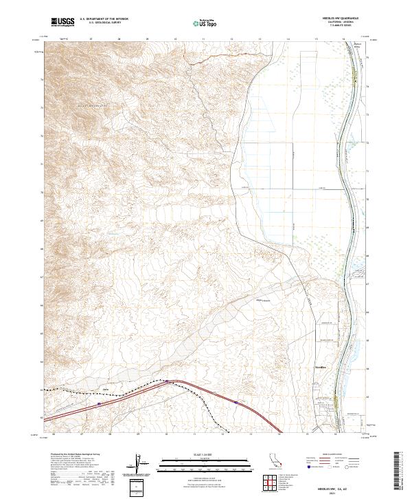
2021 Map of Needles NW
USGS Topo · Published 2021About this map
Needles serves as the focal point for this desert landscape, situated at the edge of the Mohave Valley along the Colorado River. The terrain is dominated by the Dead Mountains to the northwest and the sprawling drainage of Piute Wash, illustrating the harsh environment that historically constrained travel and settlement. This 2021 study documents the transportation routes that have defined the region for decades, including the historic path of the National Old Trails Hwy and the modern influence of the Railroad Access Rd near the siding of Java. The map reveals the intricate network of desert roads such as River Rd and Budweiser Rd that navigate the alluvial fans of the Mojave Desert, providing a clear record of land use and water access at points like Red Spring.
Find a feature on this map
40 named features on this map. Tap any name to fly to it.
Don’t see what you’re looking for? This feature index may not catch every label — zoom into the map to look around manually.
Map Details
Editions of this 2021 Needles NW Map
This is the sole edition of this map. No revisions or reprints were ever made.
Other maps of this area

1886 · Camp Mohave
USGS Topo · 1:250,000

1892 · Camp Mohave
USGS Topo · 1:250,000

1903 · Needles
USGS Topo · 1:125,000

1904 · Needles Special
USGS Topo · 1:125,000

1926 · Mohave City
USGS Topo · 1:96,000

1942 · Camp Mohave
USGS Topo · 1:250,000

1943 · Bannock
USGS Topo · 1:62,500

1947 · Kingman
USGS Topo · 1:250,000

1948 · Kingman
USGS Topo · 1:250,000

1950 · Davis Dam
USGS Topo · 1:62,500