2022 Map of Neosho Falls
USGS Topo · Published 2022About this map
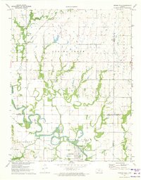
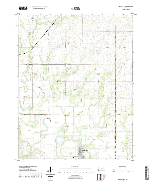
Neosho Falls is situated along a prominent bend of the Neosho River in this 2022 survey, which covers the intersection of Woodson, Coffey, Anderson, and Allen counties. The landscape is defined by the wandering paths of numerous watercourses including Twiss Cr, Loss Cr, and Indian Cr, which carve through the grid-like township and range system. Just northwest of the town center, a distinctive landform known as The Island is created by a loop in the river, reflecting the region's dynamic hydrology.
Find a feature on this map
85 named features on this map. Tap any name to fly to it.
Don’t see what you’re looking for? This feature index may not catch every label — zoom into the map to look around manually.
Map Details
Editions of this 2022 Neosho Falls Map
This is the sole edition of this map. No revisions or reprints were ever made.