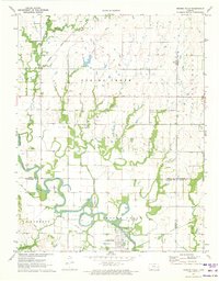
1971 Map of Neosho Falls
USGS Topo · Published 1973About this map
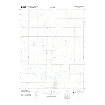
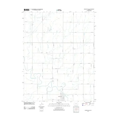
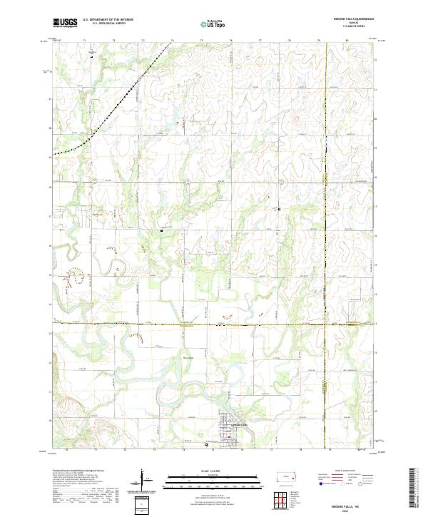
Neosho Falls sits along the winding bends of the Neosho River, anchoring a landscape where agricultural life meets early industrial remnants in the early 1970s. The town features a well-defined street grid, Riverside Park, and the unique river-carved landform known as The Island. Traces of earlier transportation networks are evident in the Old Railroad Grade and the active Missouri Pacific line, while the presence of an Oil Field and scattered Oil Wells across the northern sections points to the region's diverse economic history. Genealogists will find the area rich with family-named burial grounds, including Stoeltzing Cem, Wooster Cem, and Logue Cem. The terrain is drained by several waterways like Crooked Creek and Twiss Creek, which feed into the main river channel, highlighting the importance of the floodplain to local settlement patterns.
Find a feature on this map
28 named features on this map. Tap any name to fly to it.
Don’t see what you’re looking for? This feature index may not catch every label — zoom into the map to look around manually.
Map Details
Editions of this 1971 Neosho Falls Map
This is the sole edition of this map. No revisions or reprints were ever made.
Historical Maps of Neosho Falls Through Time
6 maps found