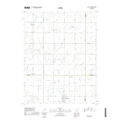
2018 Map of Neosho Falls
USGS Topo · Published 2018About this map
Neosho Falls anchors the southern portion of this landscape, situated where several counties converge along the banks of the Neosho River. The river creates a complex hydrology through the center of the sheet, carving out a landform known as The Island and feeding into Circle Lake. The surrounding terrain is defined by a dense network of tributaries, including Crooked Cr, Twiss Cr, and Spring Cr, which drain the agricultural uplands.
Find a feature on this map
79 named features on this map. Tap any name to fly to it.
Don’t see what you’re looking for? This feature index may not catch every label — zoom into the map to look around manually.
Map Details
Editions of this 2018 Neosho Falls Map
This is the sole edition of this map. No revisions or reprints were ever made.
Other maps of this area

1885 · Burlington
USGS Topo · 1:125,000

1885 · Garnett
USGS Topo · 1:125,000

1886 · Fredonia
USGS Topo · 1:125,000

1886 · Iola
USGS Topo · 1:125,000

1893 · Iola
USGS Topo · 1:125,000

1894 · Garnett
USGS Topo · 1:125,000

1894 · Fredonia
USGS Topo · 1:125,000

1894 · Burlington
USGS Topo · 1:125,000

1904 · Iola
USGS Topo · 1:125,000

1947 · Lawrence
USGS Topo · 1:250,000