
1894 Map of Burlington
USGS Topo · Published 1894About this map
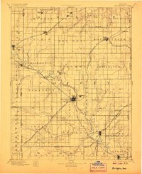
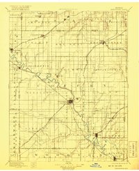
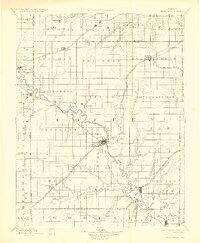
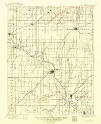
The Neosho River snakes diagonally through this late nineteenth-century landscape, serving as the central artery for Coffey County's development. This detailed survey by Henry Gannett and his team illustrates a region defined by its burgeoning rail network, including the Missouri Kansas and Texas R. R. and the A. T. and S. F. R. R.. The county seat at Burlington stands as a primary hub, while smaller surrounding settlements like Ottumwa, Strawn, and Hampden reflect the era's agricultural and transit-oriented growth.
Find a feature on this map
83 named features on this map. Tap any name to fly to it.
Don’t see what you’re looking for? This feature index may not catch every label — zoom into the map to look around manually.
Map Details
Editions of this 1894 Burlington Map
5 editions found
Other maps of this area

1885 · Eskridge
USGS Topo · 1:125,000

1885 · Burlington
USGS Topo · 1:125,000

1885 · Eureka
USGS Topo · 1:125,000

1885 · Garnett
USGS Topo · 1:125,000

1885 · Lawrence
USGS Topo · 1:125,000

1886 · Fredonia
USGS Topo · 1:125,000

1886 · Iola
USGS Topo · 1:125,000

1888 · Emporia
USGS Topo · 1:125,000

1888 · Eureka
USGS Topo · 1:125,000

1889 · Burlingame
USGS Topo · 1:125,000