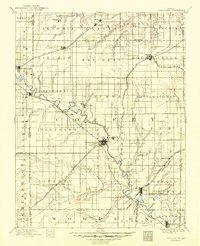
1894 Map of Burlington
USGS Topo · Published 1949About this map
The Neosho River snakes southeast across the landscape, serving as the central artery for a region defined by its dense network of small tributaries and early railroad development. Surveyed in the late 19th century, this map documents the growth of Burlington and surrounding agricultural hubs during a peak era of rail expansion. Several prominent lines, including the Kansas and Texas R. R. and the Emporia Branch, converge near settlements like Lebo and Leroy, illustrating the vital connection between these frontier towns and larger markets. The landscape is dotted with smaller communities such as Ottumwa and Hampden, many of which were strategically located along the winding courses of Wolf Creek and Long Creek. For historians, the detailed boundary lines for townships like Key West and California offer a clear view of the political organization of Coffey County at the time.
Find a feature on this map
84 named features on this map. Tap any name to fly to it.
Don’t see what you’re looking for? This feature index may not catch every label — zoom into the map to look around manually.
Map Details
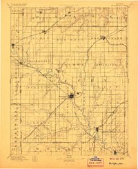
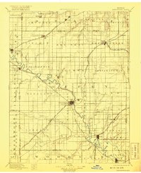
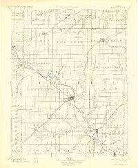
Editions of this 1894 Burlington Map
5 editions found

Other maps of this area

1885 · Eskridge
USGS Topo · 1:125,000

1885 · Burlington
USGS Topo · 1:125,000

1885 · Eureka
USGS Topo · 1:125,000

1885 · Garnett
USGS Topo · 1:125,000

1885 · Lawrence
USGS Topo · 1:125,000

1886 · Fredonia
USGS Topo · 1:125,000

1886 · Iola
USGS Topo · 1:125,000

1888 · Emporia
USGS Topo · 1:125,000

1888 · Eureka
USGS Topo · 1:125,000

1889 · Burlingame
USGS Topo · 1:125,000