2022 Map of Netawaka
USGS Topo · Published 2022About this map
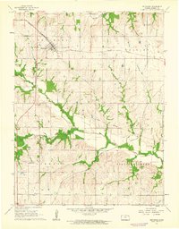
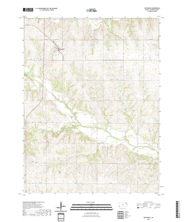
Netawaka sits as the central settlement in this Jackson County landscape, defined by a grid of rural roads and the meandering paths of local waterways. The town's layout is anchored by Commercial St and Kansas Ave, with the Netawaka Cem located just to the northwest near White Way St. This area of Kansas is characterized by its drainage network, where several named streams including Mosquito Cr, Spring Cr, Straight Cr, and Negro Cr carve through the agricultural sections. The map provides a detailed view of the Public Land Survey System divisions, clearly marking the boundaries of t5s r15e, t5s r16e, t6s r15e, and t6s r16e, which organize the farmsteads and rural routes that connect the township.
Find a feature on this map
37 named features on this map. Tap any name to fly to it.
Don’t see what you’re looking for? This feature index may not catch every label — zoom into the map to look around manually.
Map Details
Editions of this 2022 Netawaka Map
This is the sole edition of this map. No revisions or reprints were ever made.