
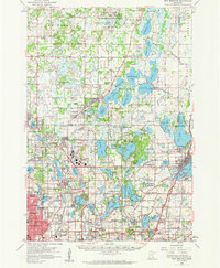
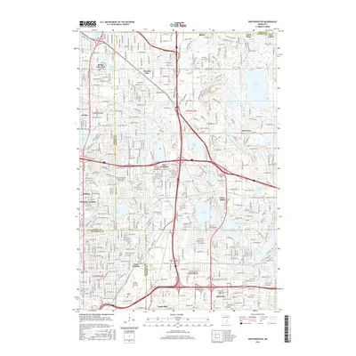
1997 Map of New Brighton
USGS Topo · Published 1999About this map
The sprawling Twin Cities Army Ammunition Plant dominates the northern landscape of this late-twentieth-century survey, a massive industrial presence bordering Arden Hills and Mounds View. This period of development shows the dense residential expansion of northern suburbs like New Brighton, Shoreview, and Roseville as they integrated into the larger Twin Cities metropolitan area.
Find a feature on this map
121 named features on this map. Tap any name to fly to it.
Don’t see what you’re looking for? This feature index may not catch every label — zoom into the map to look around manually.
Map Details
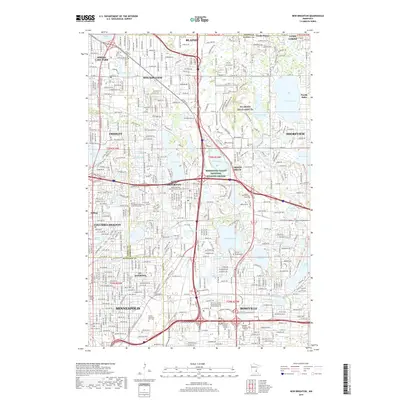
Editions of this 1997 New Brighton Map
This is the sole edition of this map. No revisions or reprints were ever made.
Historical Maps of Minneapolis Through Time
9 maps found
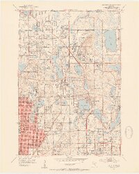
1952 New Brighton
Ramsey County, MN
1955 New Brighton
Ramsey County, MN

1967 New Brighton
Ramsey County, MN
1997 New Brighton
Ramsey County, MN
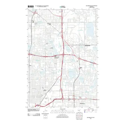
2010 New Brighton
Ramsey County, MN
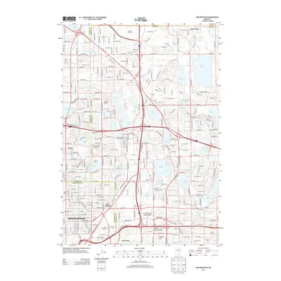
2013 New Brighton
Ramsey County, MN
2016 New Brighton
Ramsey County, MN
2019 New Brighton
Ramsey County, MN
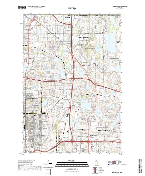
2022 New Brighton
Ramsey County, MN