Loading...
Loading map...2023 Map of New Freeport
USGS Topo · Published 2023About this map
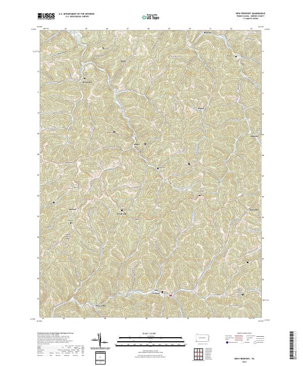
New Freeport serves as the focal point of this Greene County landscape, situated near the confluence of Herod Run and the Pennsylvania Fork Fish Creek. The region is defined by its dense network of family-named cemeteries and small settlements like Aleppo, Deep Valley, and Nettle Hill. Notable for genealogists, the map preserves the locations of numerous burial grounds including Chess Cem, Staggers Cem, and the Sugar Grove Cem.
Find a feature on this map
94 named features on this map. Tap any name to fly to it.
Don’t see what you’re looking for? This feature index may not catch every label — zoom into the map to look around manually.
Map Details
Date Portrayed2023
Date Published2023
PublisherU.S. Geological Survey
Map TypeTopographic
Scale1:24000
Physical Dimensions24 x 29 inches
Editions of this 2023 New Freeport Map
This is the sole edition of this map. No revisions or reprints were ever made.
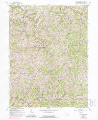
Historical Maps of Springhill Township Through Time
Featured Locations
- Jackson Township, PA
- Aleppo Township, PA
- Center Township, PA
- Gilmore Township, PA
- Bristoria, Richhill Township
Source Details
SourceU.S. Geological Survey
CopyrightPublic Domain