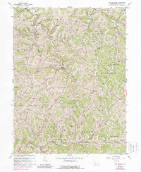
1964 Map of New Freeport
USGS Topo · Published 1989About this map
New Freeport and the surrounding townships of Rich Hill, Aleppo, and Springhill are characterized by a dense network of valley settlements and upland ridges in this mid-century topographic record. The landscape is defined by the winding courses of the South Fork Dunkard Creek and the Pennsylvania Fork Fish Creek, along which small communities like McCracken and Deep Valley developed.
Find a feature on this map
54 named features on this map. Tap any name to fly to it.
Don’t see what you’re looking for? This feature index may not catch every label — zoom into the map to look around manually.
Map Details
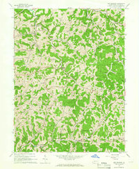
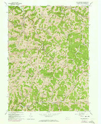
Editions of this 1964 New Freeport Map
3 editions found
Other maps of this area

1903 · Littleton
USGS Topo · 1:62,500

1904 · Cameron
USGS Topo · 1:62,500

1905 · Mannington
USGS Topo · 1:62,500

1905 · Rogersville
USGS Topo · 1:62,500

1905 · Littleton
USGS Topo · 1:62,500

1923 · Mannington
USGS Topo · 1:62,500

1924 · Littleton
USGS Topo · 1:62,500

1926 · Littleton
USGS Topo · 1:62,500

1926 · Mannington
USGS Topo · 1:62,500

1935 · Cameron
USGS Topo · 1:62,500