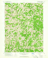
1964 Map of New Freeport
USGS Topo · Published 1965About this map
Aleppo and New Freeport serve as the primary hubs in this mid-1960s survey of southern Greene County. The landscape is defined by the winding waters of Fish Creek and the North Fork Dunkard Fork, where early infrastructure like the Smith Bridge and a Covered Bridge near Strawn are clearly marked. The map provides a detailed look at the rural social fabric of the era, pinpointing numerous small community anchors including Sugar Grove Ch, Pleasant Hill Ch, and the Aleppo Sch.
Find a feature on this map
55 named features on this map. Tap any name to fly to it.
Don’t see what you’re looking for? This feature index may not catch every label — zoom into the map to look around manually.
Map Details
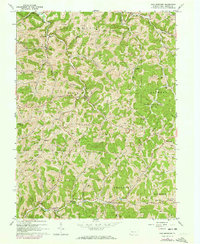
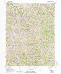
Editions of this 1964 New Freeport Map
3 editions found
Other maps of this area

1903 · Littleton
USGS Topo · 1:62,500

1904 · Cameron
USGS Topo · 1:62,500

1905 · Mannington
USGS Topo · 1:62,500

1905 · Rogersville
USGS Topo · 1:62,500

1905 · Littleton
USGS Topo · 1:62,500

1923 · Mannington
USGS Topo · 1:62,500

1924 · Littleton
USGS Topo · 1:62,500

1926 · Littleton
USGS Topo · 1:62,500

1926 · Mannington
USGS Topo · 1:62,500

1935 · Cameron
USGS Topo · 1:62,500