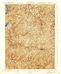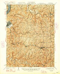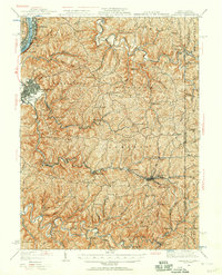
1935 Map of Cameron
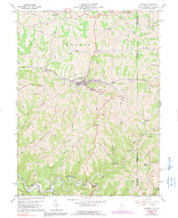
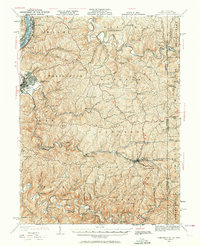
USGS Topo · Published 1957About this map
The Baltimore and Ohio RR carves a critical path through the hills of Marshall County, following the winding course of Grave Creek and Fish Creek to connect the industrial riverfront with the interior. Along the Ohio River, the narrow lowland known as The Narrows anchors the northern settlements of McMechen and Benwood, while Moundsville stands as the primary center of activity. The rugged landscape is defined by long, high ridges such as Roberts Ridge and Grave Creek Ridge, which forced early development into a series of isolated hill-country communities and valley junctions.
Find a feature on this map
125 named features on this map. Tap any name to fly to it.
Don’t see what you’re looking for? This feature index may not catch every label — zoom into the map to look around manually.
Map Details
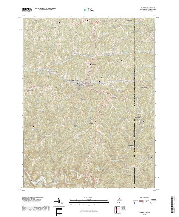
Editions of this 1935 Cameron Map
2 editions found
Historical Maps of Moundsville Through Time
5 maps found