Loading...
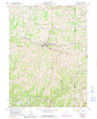
Loading map...1935 Map of Cameron
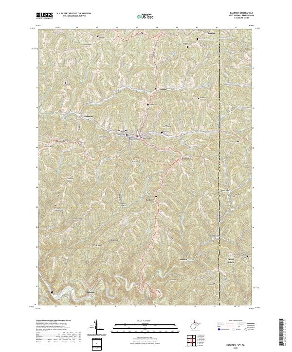
USGS Topo · Published 1964About this map
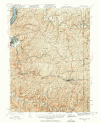
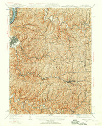
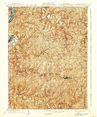
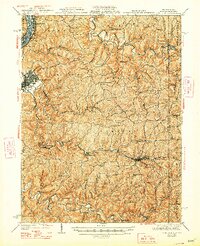
Moundsville serves as a prominent anchor along the Ohio River in this 1935 revision of the northern West Virginia panhandle. The terrain is defined by a dense network of ridges and hollows, such as Grave Creek Ridge and Wolf Ridge, where life was historically organized around small rural schools and local churches. The map reveals the critical transportation corridors of the era, including the Baltimore and Ohio railroad winding through the valley at Cameron and the historic Waynesburg Turnpike traversing the high ground.
Find a feature on this map
133 named features on this map. Tap any name to fly to it.
Don’t see what you’re looking for? This feature index may not catch every label — zoom into the map to look around manually.
Map Details
Date Portrayed1935
Date Published1964
PublisherU.S. Geological Survey
Map TypeTopographic
Scale1:62,500
Physical Dimensions16.8 x 20.7 inches
Editions of this 1935 Cameron Map
2 editions found
Historical Maps of Moundsville Through Time
5 maps found
Featured Locations
Source Details
SourceU.S. Geological Survey
CopyrightPublic Domain