2023 Map of New Galilee
USGS Topo · Published 2023About this map
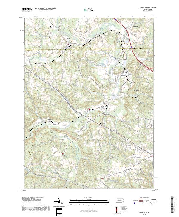
North Fork Little Beaver Creek meanders through this landscape, marking the historical border between Lawrence and Beaver counties. The area is defined by a cluster of established settlements, including Enon Valley, Darlington, and New Galilee, which developed alongside the early transportation routes of the region. Evidence of the area's deep-rooted family history is found in numerous burial sites such as the White Family Cem and Little Beaver Cem, alongside denominational landmarks like the Reformed Presbyterian Church Cem. The modern infrastructure of the Beaver County Airport and the active Norfolk Southern rail line intersect with older rural landmarks like Darlington Lake and Miskita Lake. The transition from the valley floor to the surrounding heights is punctuated by locally named water bodies like Madden Run and Honey Creek, illustrating the drainage patterns that have shaped local agriculture and industry for generations.
Find a feature on this map
148 named features on this map. Tap any name to fly to it.
Don’t see what you’re looking for? This feature index may not catch every label — zoom into the map to look around manually.
Map Details
Editions of this 2023 New Galilee Map
This is the sole edition of this map. No revisions or reprints were ever made.
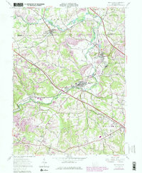
Historical Maps of Darlington Township Through Time
Featured Locations
- Darlington, PA
- New Galilee, PA
- Enon Valley, PA
- Rowtown, South Beaver Township
- Cannelton, Darlington Township