Loading...
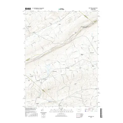
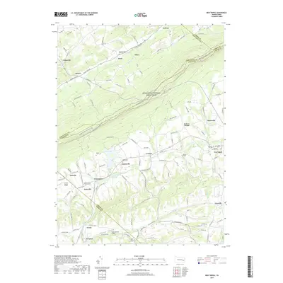
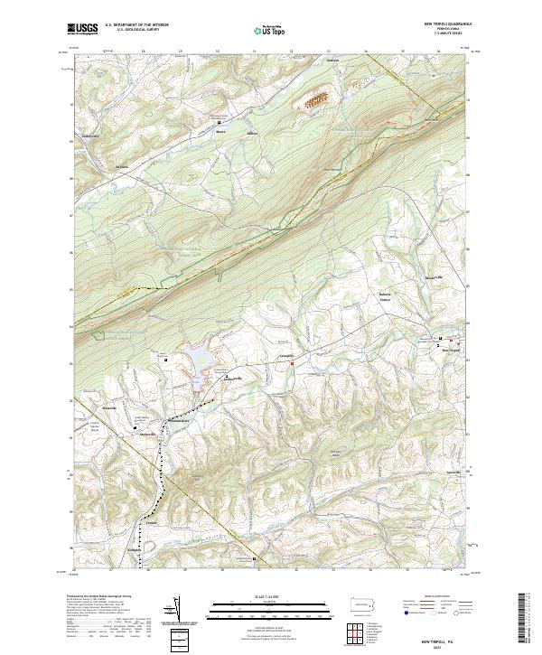
Loading map...1999 Map of New Tripoli
USGS Topo · Published 2001About this map
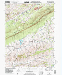
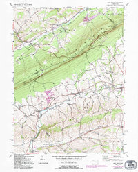
Blue Mountain dominates the landscape of this region, providing a natural barrier between the settlements of Lynn and West Penn. The high ridge is traversed by the Appalachian Scenic Trail and protected within State Game Lands No 217, offering a look at the preserved woodland that overlooks the valleys below. In the south, the waters of Leaser Lake and Ontelaunee Creek drain the fertile basin where several small villages and hamlets reside.
Find a feature on this map
49 named features on this map. Tap any name to fly to it.
Don’t see what you’re looking for? This feature index may not catch every label — zoom into the map to look around manually.
Map Details
Date Portrayed1999
Date Published2001
PublisherU.S. Geological Survey
Map TypeTopographic
Scale1:24,000
Physical Dimensions22.1 x 26.9 inches
Editions of this 1999 New Tripoli Map
This is the sole edition of this map. No revisions or reprints were ever made.
Historical Maps of Weisenberg Township Through Time
7 maps found
Featured Locations
- Albany Township, PA
- Heidelberg Township, PA
- Weisenberg Township, PA
- West Penn Township, PA
- Leibeyville, West Penn Township
Source Details
SourceU.S. Geological Survey
CopyrightPublic Domain