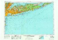
1969 Map of New York
USGS Topo · Published 1969About this map
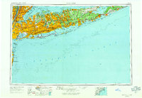
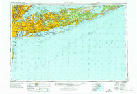
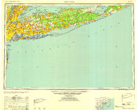
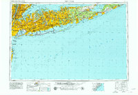
Long Island stretches eastward toward Montauk Point in this comprehensive study of the metropolitan and coastal landscape at the end of the 1960s. The map captures the dense post-war suburban development across Nassau County and Suffolk County, where planned communities like Levittown and industrial hubs such as Hicksville had recently transformed the landscape. Significant aviation and military infrastructure is visible, including Idlewild NY International Airport just before its renaming, and several tactical air bases like Mitchel AFB.
Find a feature on this map
68 named features on this map. Tap any name to fly to it.
Don’t see what you’re looking for? This feature index may not catch every label — zoom into the map to look around manually.
Map Details
Editions of this 1969 New York Map
This is the sole edition of this map. No revisions or reprints were ever made.
Historical Maps of Rosedale Through Time
6 maps found