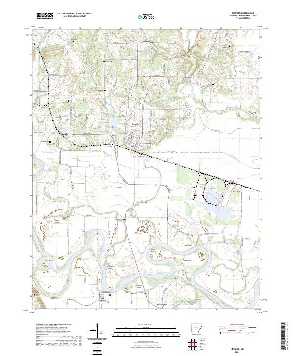
2024 Map of Newark
USGS Topo · Published 2024About this map
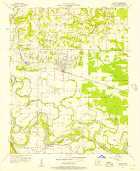
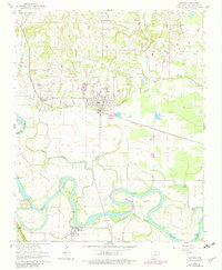
The White River winds through the heart of this Independence County landscape, creating a complex network of meanders and oxbows including Caster Bend and Hulsey Bend. The river serves as the defining geographical feature, separating the higher ground near Newark and Magness from the fertile bottomlands to the south. Historically significant river crossings are evident here, most notably at the Oil-Trough Ferry which connects the southern settlement of Oil Trough to the road networks leading north toward the hills.
Find a feature on this map
99 named features on this map. Tap any name to fly to it.
Don’t see what you’re looking for? This feature index may not catch every label — zoom into the map to look around manually.
Map Details
Editions of this 2024 Newark Map
This is the sole edition of this map. No revisions or reprints were ever made.
Historical Maps of Mount Zion Through Time
3 maps found