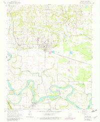
1962 Map of Newark
USGS Topo · Published 1982About this map
White River oxbows and bottomlands dominate the southern half of this landscape, where the Oil Trough Ferry provided a critical crossing point between Oil Trough and the wetlands of Padgett Island. The river’s winding course is marked by significant features like Hulsey Bend and Bear Wallow Slough, illustrating the dynamic nature of the valley before modern channelization. Further north, the Missouri Pacific railroad corridor anchors the settlements of Newark and Magness, reflecting the importance of rail transport to the region's agricultural economy. This area is exceptionally dense with genealogical data, containing numerous family and community burial grounds such as Akron Cem, Blue Springs Cem, and Fetzer Cem. The terrain transitions from the low-lying Big Bottom near the river to the upland areas around Mount Carmel, dotted with local landmarks like the Mt Zion Ch and a rural Fish Hatchery.
Find a feature on this map
44 named features on this map. Tap any name to fly to it.
Don’t see what you’re looking for? This feature index may not catch every label — zoom into the map to look around manually.
Map Details
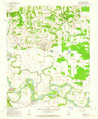
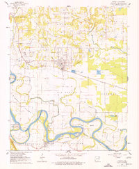
Editions of this 1962 Newark Map
3 editions found
Other maps of this area

1890 · Batesville
USGS Topo · 1:125,000

1891 · Batesville
USGS Topo · 1:125,000

1932 · Strawberry
USGS Topo · 1:62,500

1935 · Strawberry
USGS Topo · 1:62,500

1935 · Newport
USGS Topo · 1:62,500

1941 · Strawberry
USGS Topo · 1:62,500

1942 · Salado
USGS Topo · 1:31,680

1943 · Sulphur Rock
USGS Topo · 1:31,680

1953 · Memphis
USGS Topo · 1:250,000

1954 · Charlotte
USGS Topo · 1:24,000