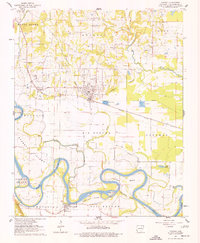
1962 Map of Newark
USGS Topo · Published 1977About this map
White River meanders sharply through this 1960s landscape, defining the boundaries between bottomlands and the rising hills of Wycough and Logan. The community of Oil Trough sits south of a significant river bend, where the Oil Trough Ferry still provided a vital crossing point. North of the river, the Missouri Pacific railroad serves as the primary artery for Newark and Magness, cutting across a landscape dotted with numerous family cemeteries and rural congregations such as Mt Zion Ch Cems and Oak Grove Ch. The presence of the Fish Hatchery near M R Branch and various Gravel Pits reflects the local economy's reliance on the area's water and mineral resources. The intricate drainage network of Big Bottom Slough, Mud Slough, and Bear Wallow Slough illustrates the complex hydrology of the Big Bottom region before modern modifications altered these riparian patterns.
Find a feature on this map
55 named features on this map. Tap any name to fly to it.
Don’t see what you’re looking for? This feature index may not catch every label — zoom into the map to look around manually.
Map Details
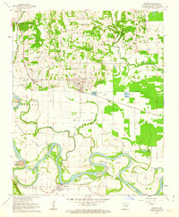
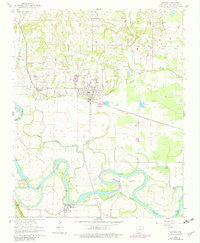
Editions of this 1962 Newark Map
3 editions found
Other maps of this area

1890 · Batesville
USGS Topo · 1:125,000

1891 · Batesville
USGS Topo · 1:125,000

1932 · Strawberry
USGS Topo · 1:62,500

1935 · Strawberry
USGS Topo · 1:62,500

1935 · Newport
USGS Topo · 1:62,500

1941 · Strawberry
USGS Topo · 1:62,500

1942 · Salado
USGS Topo · 1:31,680

1943 · Sulphur Rock
USGS Topo · 1:31,680

1953 · Memphis
USGS Topo · 1:250,000

1954 · Charlotte
USGS Topo · 1:24,000