2024 Map of Newberry
USGS Topo · Published 2024About this map
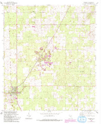
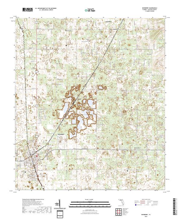
The town of Newberry serves as the primary hub of this North Central Florida landscape, positioned at the intersection of a developing grid and the prominent W Newberry Rd. The map illustrates a transition between established residential clusters and rural land, with several small named settlements including Haile, Jonesville, and Cadillac scattered across the Alachua County interior. Local history is anchored by sites like the Forest Grove Cem near Forest Grove and the Jonesville Cem to the east, providing important geographic markers for genealogical research in the region. The area's agricultural and recreational character is further evidenced by Sullivan Field and the numerous small water features and depressions typical of this part of Florida. Modern infrastructure is represented through an extensive network of local roads such as NW 94th Ave and NW 46th Ave, connecting these historic nodes.
Find a feature on this map
70 named features on this map. Tap any name to fly to it.
Don’t see what you’re looking for? This feature index may not catch every label — zoom into the map to look around manually.
Map Details
Editions of this 2024 Newberry Map
This is the sole edition of this map. No revisions or reprints were ever made.