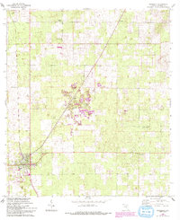
1968 Map of Newberry
USGS Topo · Published 1993About this map
The phosphate mining history of Alachua County is clearly visible on this landscape, dominated by numerous Quarry sites and a Tipple located near Haile. The town of Newberry serves as a primary hub in the southwest, while smaller communities like Jonesville, Cadillac, and Wade anchor the surrounding rural areas. The map details a network of local institutions essential for genealogical research, including Evergreen Ch, Oak Dale Ch, and Pleasant Plain Ch, alongside the Forest Grove Cemetery.
Find a feature on this map
22 named features on this map. Tap any name to fly to it.
Don’t see what you’re looking for? This feature index may not catch every label — zoom into the map to look around manually.
Map Details
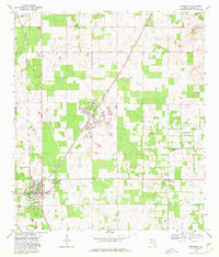
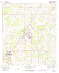
Editions of this 1968 Newberry Map
4 editions found

Other maps of this area

1890 · Arredondo
USGS Topo · 1:62,500

1892 · Arredondo
USGS Topo · 1:62,500

1894 · Arredondo
USGS Topo · 1:62,500

1954 · Gainesville
USGS Topo · 1:250,000

1958 · Gainesville
USGS Topo · 1:250,000

1959 · Gainesville
USGS Topo · 1:250,000

1962 · High Springs
USGS Topo · 1:24,000

1966 · Gainesville West
USGS Topo · 1:24,000

1966 · Arredondo
USGS Topo · 1:24,000
1966 · Alachua
USGS Topo · 1:24,000