
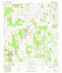
1968 Map of Newberry
USGS Topo · Published 1970About this map
Newberry and its surrounding Alachua County landscape are defined here by a clear intersection of rail transport and industrial extraction. The Seaboard Coast Line railroad cuts a diagonal path through the center of the sheet, anchoring the settlement of Haile and providing a transport corridor for numerous unnamed quarries and several tipples concentrated in the central region. This heavy industrial footprint contrasts with the rural character of northern and eastern sections, where small communities like Wade, Forest Grove, and Cadillac are identifiable by their central structures and social hubs.
Find a feature on this map
18 named features on this map. Tap any name to fly to it.
Don’t see what you’re looking for? This feature index may not catch every label — zoom into the map to look around manually.
Map Details
Editions of this 1968 Newberry Map
4 editions found
Other maps of this area

1890 · Arredondo
USGS Topo · 1:62,500

1892 · Arredondo
USGS Topo · 1:62,500

1894 · Arredondo
USGS Topo · 1:62,500

1954 · Gainesville
USGS Topo · 1:250,000

1958 · Gainesville
USGS Topo · 1:250,000

1959 · Gainesville
USGS Topo · 1:250,000

1962 · High Springs
USGS Topo · 1:24,000

1966 · Gainesville West
USGS Topo · 1:24,000

1966 · Arredondo
USGS Topo · 1:24,000
1966 · Alachua
USGS Topo · 1:24,000