
1966 Map of Arredondo
USGS Topo · Published 1967About this map
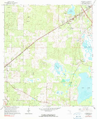
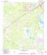
Arredondo and the surrounding Alachua County landscape are defined by a mix of sinkhole topography and late-1960s infrastructure. The Seaboard Air Line railroad bisects the terrain, connecting small settlements and industrial operations like the local Quarry and Gravel Pit. The southern portion of the map transitions into the massive wetlands of Levy Lake and Paynes Prairie, areas where the water table is a dominant force on the landscape.
Find a feature on this map
30 named features on this map. Tap any name to fly to it.
Don’t see what you’re looking for? This feature index may not catch every label — zoom into the map to look around manually.
Map Details
Editions of this 1966 Arredondo Map
3 editions found
Other maps of this area

1890 · Arredondo
USGS Topo · 1:62,500

1892 · Arredondo
USGS Topo · 1:62,500

1894 · Arredondo
USGS Topo · 1:62,500

1895 · Williston
USGS Topo · 1:62,500

1954 · Gainesville
USGS Topo · 1:250,000

1955 · Bronson NE
USGS Topo · 1:24,000

1958 · Gainesville
USGS Topo · 1:250,000

1959 · Gainesville
USGS Topo · 1:250,000
1966 · Micanopy
USGS Topo · 1:24,000

1966 · Gainesville West
USGS Topo · 1:24,000