Old Maps of Archer, Florida
Explore 19 old maps of Archer, spanning from 1890 to today. These high-resolution historic maps reveal how streets, neighborhoods, landmarks, and natural features evolved over time — perfect for genealogy, metal detecting, research, and local history exploration.
What you can do with these maps:
- See how Archer changed over time: Compare historical maps to modern-day views to trace roads, homesites, rail lines & more.
- View detailed metadata: Each map includes creators, publishers, year, scale, and archive source.
- Overlay maps with satellite & LiDAR: Visualize the past alongside modern tools to explore terrain & human change.
- Trusted historical sources: Maps sourced from the USGS, Library of Congress, and other archives.
- Access maps your way: View online, download high-res files, or order prints for personal or research use.
Start exploring old maps of Archer to uncover forgotten places, hidden landmarks, and the deep history beneath your feet.
Archer, FL maps
(19)- 1890 Map of Arredondo, 1955 Print
 1890 Arredondo1955 Print · USGSAlachua County at the end of the nineteenth century shows a landscape where iron rails were rapidly connecting old prairie settlements. Genealogists and historians can trace the early rail stops at Arredondo, locate the distinctive Devils Mill Hopper, and see the early layout of Gainesville.2 unique versions available
 - 1892 Map of Arredondo
 1892 Arredondo1892 Print · USGSAlachua County is captured here in the late nineteenth century as a hub of early Florida rail commerce. Genealogists and historians can trace the foundations of Gainesville and smaller rural communities such as Arredondo, Stewartville, and Micanopy.
 - 1894 Map of Arredondo
 1894 Arredondo1894 Print · USGSAlachua County at the close of the nineteenth century is defined by its new rail junctions and expansive, shifting wet prairies. Researchers can trace the early footprints of Gainesville or locate vanished sites near Arredondo, Kanapaha, and the banks of Levy Lake.6 unique versions available
 - 1954 Map of Gainesville, 1965 Print
 1954 Gainesville1965 Print · USGSMid-century North Central Florida comes into focus as a landscape of timber, rails, and river towns along the Gulf. Trace family roots in established centers like Gainesville or follow the path of the Suwannee River to the coastal docks of Cedar Key.3 unique versions available
 - 1958 Map of Gainesville
 1958 Gainesville1958 Print · USGSNorth Central Florida’s rail and river networks are frozen in time just before the interstate era. Genealogists and historians can trace the paths of the Atlantic Coast Line through Gainesville or locate coastal settlements like Steinhatchee and Cedar Key.
 - 1959 Map of Gainesville
 1959 Gainesville1959 Print · USGSNorth Florida in the mid-fifties is seen here from the Gulf coast to the inland lakes, showing the rail-and-river network before modern highways dominated. Researchers can trace the paths of the Seaboard Air Line through towns like Chiefland and Micanopy, or explore the coastal inlets of Waccasassa Bay.
 - 1966 Map of Arredondo, 1967 Print
 1966 Arredondo1967 Print · USGSAlachua County in the mid-sixties shows a landscape of sinkholes and prairies shaped by old rail lines and new post-war growth. Researchers can trace the Arredondo Grant Boundary or locate historic sites like Kanapaha Cem and the Gainesville Speedway.3 unique versions available
 - 1968 Map of Archer, 1970 Print
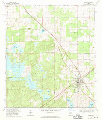 1968 Archer1970 Print · USGSArcher and its surrounding pond country are captured here in the late sixties as the local rail and agricultural economy persisted. Researchers can locate family landmarks like Laurel Hill Cem, the Archer Community Sch, and old community nodes at Pinesville.3 unique versions available
 - 1981 Map of Gainesville, 1982 Print
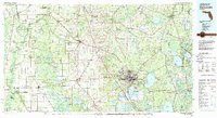 1981 Gainesville1982 Print · USGSGainesville and its surrounding North Central Florida counties are captured in the early eighties, showcasing a mix of university growth and rural agriculture. Genealogists and historians can trace small settlements like Arredondo, Wacahoota, and Island Grove alongside major rail lines like the Seaboard Coast Line.2 unique versions available
 - 2012 Map of Arredondo, 2012 Print
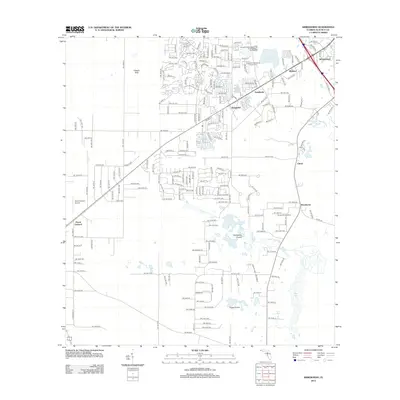 2012 Arredondo2012 Print · USGSAlachua County at the start of the 2010s shows a landscape of suburban growth and limestone prairie. Trace family history at the Kanapaha Presbyterian Church Cem or locate regional landmarks like the Gainesville Speedway and Peach Orchard Airport.
 - 2012 Map of Archer, 2012 Print
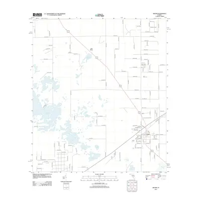 2012 Archer2012 Print · USGSArcher and the surrounding Alachua County pine lands are documented here in the early twenty-first century. Genealogists and local historians can trace legacy sites like Shiloh Cem, the Archer Forestry Site Tower, and the waters of Watermelon Pond.
 - 2015 Map of Arredondo, 2015 Print
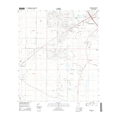 2015 Arredondo2015 Print · USGSAlachua County at the start of the 2010s shows a landscape of suburban growth intertwined with traditional Florida wet prairies and sinks. Researchers can trace the layout of Arredondo, find the Kanapaha Presbyterian Church Cem, and locate the Peach Orchard Airport.
 - 2015 Map of Archer, 2015 Print
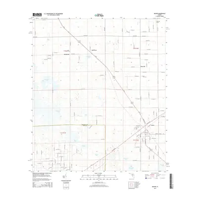 2015 Archer2015 Print · USGSThe Alachua and Levy County line comes into focus in this modern survey of the karst terrain between Newberry and Archer. Genealogists can trace family burial sites at Saint Peter's Cem and Shiloh Cem while following the rural roads through Half Moon and Pinesville.
 - 2018 Map of Archer, 2018 Print
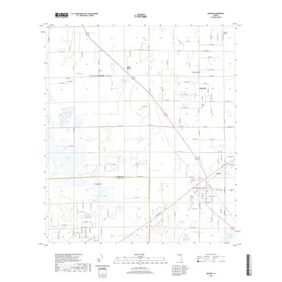 2018 Archer2018 Print · USGSThe borderlands of Alachua and Levy Counties are captured here in the late 2010s, showing a landscape of scattered ponds and rural crossroads. Genealogists can locate several local burial sites such as Saint Mark Cem, Shiloh Cem, and Laurel Hill Cem.
 - 2018 Map of Arredondo, 2018 Print
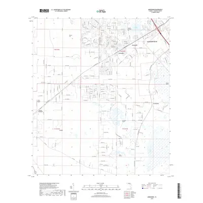 2018 Arredondo2018 Print · USGSGainesville's southwestern outskirts and the surrounding Alachua County prairies are documented here in the late twenty-teens. Researchers can trace local landmarks like the Kanapaha Presbyterian Church and small settlements such as Wacahoota and Peach Orchard.
 - 2021 Map of Archer, 2021 Print
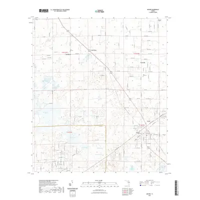 2021 Archer2021 Print · USGSThe Florida landscape near Archer and Newberry is captured here in the early twenty-first century, showing a region defined by its sinkhole ponds and rural community roots. Genealogists can locate several local burial sites including Shiloh Cem and Laurel Hill Cem set among landmarks like Watermelon Pond.
 - 2021 Map of Arredondo, 2021 Print
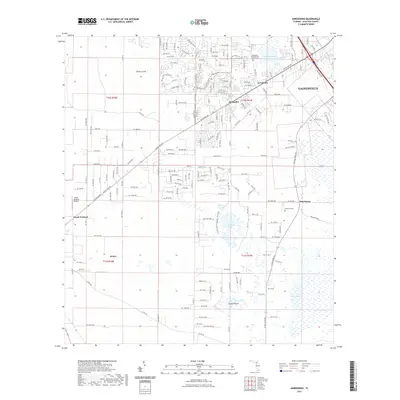 2021 Arredondo2021 Print · USGSAlachua County just southwest of Gainesville is shown here in the contemporary era, where historic prairies and sinks meet modern growth. Researchers can locate Hopewell Cemetery and trace the original settlement footprints of Arredondo, Kanapaha, and Wacahoota.
 - 2024 Map of Arredondo, 2024 Print
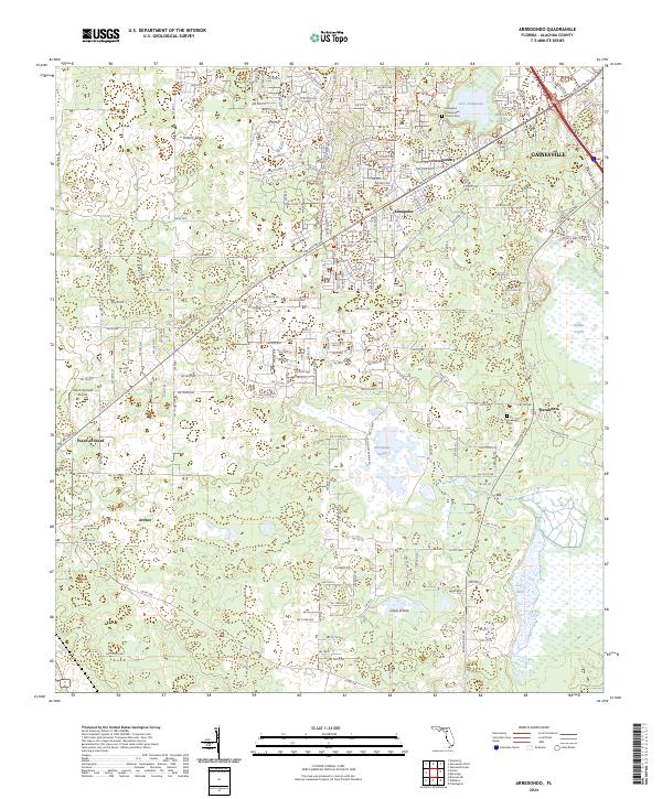 2024 Arredondo2024 Print · USGSAlachua County at the start of the 2020s shows a landscape of expansive prairies and developing rural hubs. Researchers can trace local heritage through landmarks like Kanapaha Presbyterian Church, Hopewell Cemetery, and the historic community of Arredondo.
 - 2024 Map of Archer, 2024 Print
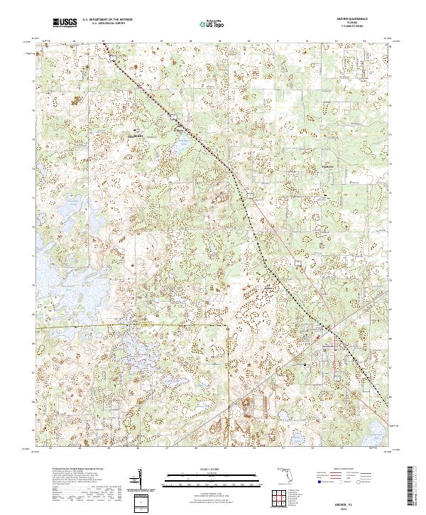 2024 Archer2024 Print · USGSAlachua County's rural heartland is documented here in the early twenty-first century, centered on the historic nodes of Newberry and Archer. Researchers can locate family landmarks like Shiloh Cem and Laurel Hill Cem or trace the area's many named sinkhole waters.
End of results
Showing maps 1-19 of 19
Top cities near Archer
- Gainesville historical maps
- Alachua historical maps
- High Springs historical maps
- Newberry historical maps
- Williston historical maps
- East Bronson historical maps
See more
Frequently asked questions
- What are the different types of historical maps available for Archer?
- What is the oldest map of Archer?
- Where can I purchase historical maps of Archer for my home or office?
- Where can I download high-res historical maps of Archer?
- Are there historical topographic maps available for Archer?
- Is there historical aerial imagery available for Archer?
- Where are historical maps of Archer sourced from?