Old Maps of Bronson, Florida
Explore 16 old maps of Bronson, spanning from 1954 to today. These high-resolution historic maps reveal how streets, neighborhoods, landmarks, and natural features evolved over time — perfect for genealogy, metal detecting, research, and local history exploration.
What you can do with these maps:
- See how Bronson changed over time: Compare historical maps to modern-day views to trace roads, homesites, rail lines & more.
- View detailed metadata: Each map includes creators, publishers, year, scale, and archive source.
- Overlay maps with satellite & LiDAR: Visualize the past alongside modern tools to explore terrain & human change.
- Trusted historical sources: Maps sourced from the USGS, Library of Congress, and other archives.
- Access maps your way: View online, download high-res files, or order prints for personal or research use.
Start exploring old maps of Bronson to uncover forgotten places, hidden landmarks, and the deep history beneath your feet.
Bronson, FL maps
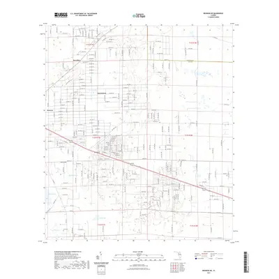
(16)- 1954 Map of Bronson, 1956 Print
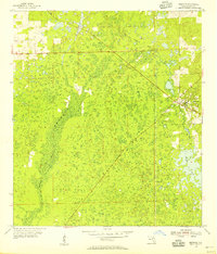 1954 Bronson1956 Print · USGSBronson stood as a vital Levy County junction in the mid-fifties, surrounded by the dense wetlands of the Florida interior. Researchers can trace the path of the Atlantic Coast Line, the expanse of Devils Hammock, and the shoreline of Chunky Pond.3 unique versions available
 - 1954 Map of Gainesville, 1965 Print
 1954 Gainesville1965 Print · USGSMid-century North Central Florida comes into focus as a landscape of timber, rails, and river towns along the Gulf. Trace family roots in established centers like Gainesville or follow the path of the Suwannee River to the coastal docks of Cedar Key.3 unique versions available
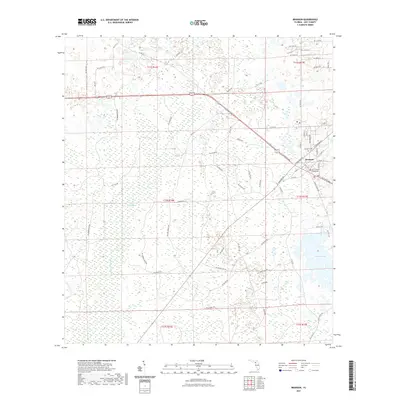
 - 1955 Map of Bronson NE, 1956 Print
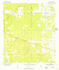 1955 Bronson NE1956 Print · USGSLevy County's rural landscape in the mid-fifties reveals a network of sinkhole ponds and early industrial sites. Local historians can trace the Seaboard Air Line and Old Railroad Grade near Merediths or locate the Smith Cem.3 unique versions available
 - 1958 Map of Gainesville
 1958 Gainesville1958 Print · USGSNorth Central Florida’s rail and river networks are frozen in time just before the interstate era. Genealogists and historians can trace the paths of the Atlantic Coast Line through Gainesville or locate coastal settlements like Steinhatchee and Cedar Key.
 - 1959 Map of Gainesville
 1959 Gainesville1959 Print · USGSNorth Florida in the mid-fifties is seen here from the Gulf coast to the inland lakes, showing the rail-and-river network before modern highways dominated. Researchers can trace the paths of the Seaboard Air Line through towns like Chiefland and Micanopy, or explore the coastal inlets of Waccasassa Bay.
 - 1978 Map of Ocala, 1980 Print
 1978 Ocala1980 Print · USGSFlorida's interior heartland and Gulf coast are seen here in the late seventies, showing the transition from freshwater springs to coastal hammocks. Genealogists and historians can trace the Seaboard Coast Line Railroad through Chiefland, Bronson, and Dunnellon.2 unique versions available
 - 2012 Map of Bronson NE, 2012 Print
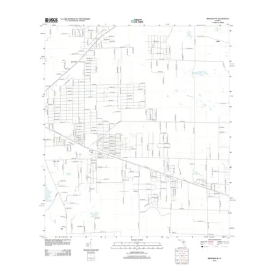 2012 Bronson NE2012 Print · USGSCovers Bronson, including East Bronson, Merediths, and other nearby areas
 - 2012 Map of Bronson, 2012 Print
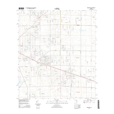
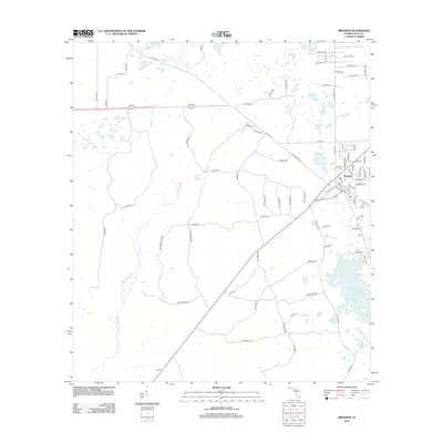 2012 Bronson2012 Print · USGSCovers Bronson, including Levy County, United States, and other nearby areas
 - 2015 Map of Bronson NE, 2015 Print
 2015 Bronson NE2015 Print · USGSCovers Bronson, including East Bronson, Merediths, and other nearby areas
 - 2015 Map of Bronson, 2015 Print
 2015 Bronson2015 Print · USGSCovers Bronson, including Levy County, United States, and other nearby areas
 - 2018 Map of Bronson NE, 2018 Print
 2018 Bronson NE2018 Print · USGSCovers Bronson, including East Bronson, Merediths, and other nearby areas
 - 2018 Map of Bronson, 2018 Print
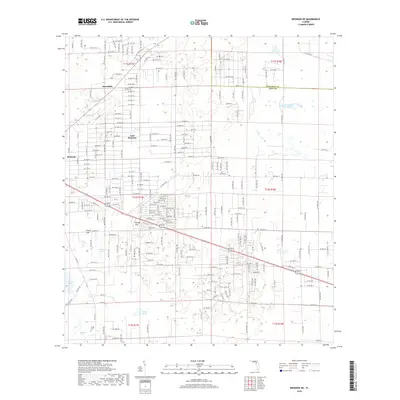
 2018 Bronson2018 Print · USGSCovers Bronson, including Levy County, United States, and other nearby areas
 - 2021 Map of Bronson NE, 2021 Print
 2021 Bronson NE2021 Print · USGSCovers Bronson, including East Bronson, Merediths, and other nearby areas
 - 2021 Map of Bronson, 2021 Print
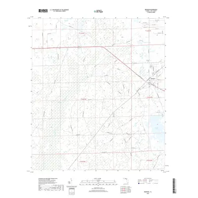
 2021 Bronson2021 Print · USGSCovers Bronson, including Levy County, United States, and other nearby areas
 - 2024 Map of Bronson, 2024 Print
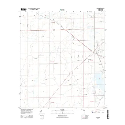
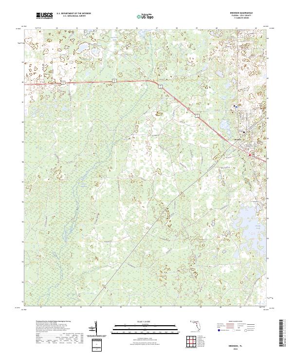 2024 Bronson2024 Print · USGSBronson and the central Levy County landscape are shown in this modern survey. Researchers can locate the Levy County Courthouse, trace family history at Rosemary Hill Cem, and explore the margins of Devils Hammock.
 - 2024 Map of Bronson NE, 2024 Print
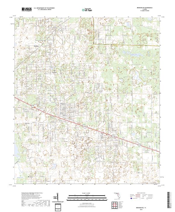 2024 Bronson NE2024 Print · USGSLevy County's rural interior comes into focus in this contemporary survey of the landscape northeast of the county seat. Researchers can locate family landmarks like the Hamp Smith Cem or trace the development of Spring Hill and Merediths.
End of results
Showing maps 1-16 of 16
Top cities near Bronson
- Gainesville historical maps
- Newberry historical maps
- Williston historical maps
- Chiefland historical maps
- East Bronson historical maps
- Trenton historical maps
See more
Frequently asked questions
- What are the different types of historical maps available for Bronson?
- What is the oldest map of Bronson?
- Where can I purchase historical maps of Bronson for my home or office?
- Where can I download high-res historical maps of Bronson?
- Are there historical topographic maps available for Bronson?
- Is there historical aerial imagery available for Bronson?
- Where are historical maps of Bronson sourced from?