
1954 Map of Bronson
USGS Topo · Published 1956About this map
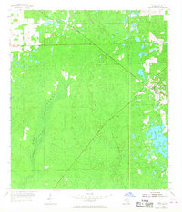
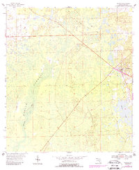
Bronson serves as the focal point of this mid-1950s survey of Levy County, Florida, situated at the intersection of established rail lines and emerging road networks. The town's grid is clearly defined, positioned just east of the expansive wetlands and dense vegetation of Devils Hammock. The landscape is dominated by the hydrology of the Waccasassa River and smaller water bodies like Chunky Pond, which reflect the region's low-lying, swampy character. Industrial history is visible through the Atlantic Coast Line railroad and an Old Railroad Grade that cuts diagonally across the northern sections. These features suggest an era when timber and transport were central to the local economy, with the map providing a precise record of the transition from older rail corridors to the mid-century infrastructure that began to reshape the Florida interior.
Find a feature on this map
6 named features on this map. Tap any name to fly to it.
Don’t see what you’re looking for? This feature index may not catch every label — zoom into the map to look around manually.
Map Details
Editions of this 1954 Bronson Map
3 editions found
Other maps of this area

1954 · Chiefland
USGS Topo · 1:24,000

1954 · Otter Creek
USGS Topo · 1:24,000

1954 · Bronson SW
USGS Topo · 1:24,000

1954 · Gainesville
USGS Topo · 1:250,000

1955 · Bronson NE
USGS Topo · 1:24,000

1955 · Bronson SE
USGS Topo · 1:24,000
1957 · Bronson SE
USGS Topo · 1:25,000

1958 · Gainesville
USGS Topo · 1:250,000

1959 · Gainesville
USGS Topo · 1:250,000

1968 · Newberry SW
USGS Topo · 1:24,000