
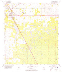
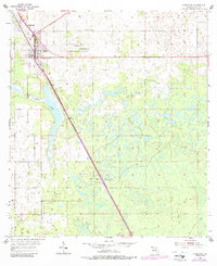
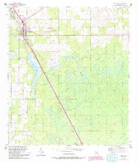
1954 Map of Chiefland
USGS Topo · Published 1956About this map
The Atlantic Coast Line railroad dictates the layout of Levy County in the mid-1950s, running a straight course through the settlement of Chiefland. This period of Florida history shows a landscape defined by scattered agricultural communities and many small country churches, including St Johns Ch, Mt Bethel Ch, and Mt Pleasant Ch. To the north, Hardee town sits near the tracks, while Usher and Chiefland Camp anchor the southern portion of the survey. The terrain is notably pocketed with small water bodies and low-lying areas, with Long Pond forming a significant feature west of the main railroad line. Genealogical value is high here, with several named cemeteries such as Adamsville Cem and Galilee Cem marking the locations of early local families. A lone Lookout Tower stands near Usher, suggesting the importance of forestry management in this part of the state during the era.
Find a feature on this map
16 named features on this map. Tap any name to fly to it.
Don’t see what you’re looking for? This feature index may not catch every label — zoom into the map to look around manually.
Map Details
Editions of this 1954 Chiefland Map
4 editions found
Other maps of this area

1954 · Otter Creek
USGS Topo · 1:24,000

1954 · Bronson
USGS Topo · 1:24,000

1954 · Manatee Springs
USGS Topo · 1:24,000

1954 · Chiefland SW
USGS Topo · 1:24,000

1954 · Bronson SW
USGS Topo · 1:24,000

1954 · Gainesville
USGS Topo · 1:250,000

1958 · Gainesville
USGS Topo · 1:250,000

1959 · Gainesville
USGS Topo · 1:250,000

1968 · Newberry SW
USGS Topo · 1:24,000

1968 · Trenton
USGS Topo · 1:24,000