
1954 Map of Manatee Springs
USGS Topo · Published 1956About this map
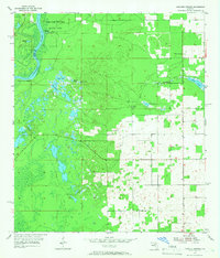
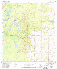
The Suwannee River carves a winding boundary between Dixie and Levy Counties in this mid-century survey, anchoring a landscape defined by its distinctive karst topography. The prominent Manatee Springs flows into the river within the protected grounds of Manatee Springs State Park, while the surrounding terrain is a network of depressions and water bodies such as Alligator Lake, Drummond Pond, and Willow Sink.
Find a feature on this map
18 named features on this map. Tap any name to fly to it.
Don’t see what you’re looking for? This feature index may not catch every label — zoom into the map to look around manually.
Map Details
Editions of this 1954 Manatee Springs Map
3 editions found
Other maps of this area

1954 · Eugene
USGS Topo · 1:24,000

1954 · Chiefland
USGS Topo · 1:24,000

1954 · Otter Creek
USGS Topo · 1:24,000

1954 · Chiefland SW
USGS Topo · 1:24,000

1954 · Vista
USGS Topo · 1:24,000

1954 · East Pass
USGS Topo · 1:24,000

1954 · Gainesville
USGS Topo · 1:250,000

1958 · Gainesville
USGS Topo · 1:250,000

1959 · Gainesville
USGS Topo · 1:250,000

1968 · Trenton
USGS Topo · 1:24,000