
1954 Map of Otter Creek
USGS Topo · Published 1956About this map
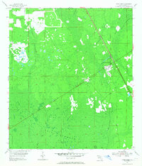
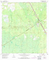
Otter Creek and the neighboring community of Ellzey serve as the primary hubs in this mid-century view of Levy County's wetlands. The area is defined by a series of distinct hammocks—raised islands of hardwood vegetation amidst the low-lying marshes—including Rocky Hammock, Devils Hammock, and the northern reaches of Gulf Hammock. Transport and industry are marked by the Atlantic Coast Line railroad and an Old Railroad Grade that speaks to the region's logging history. For the genealogist, several local landmarks provide valuable touchstones, such as Rocky Hammock Ch and Kirkland Cem. This survey, compiled from 1951 aerial photography and 1954 ground surveys, provides a detailed record of the landscape before significant drainage or modern development altered the natural drainage patterns of Otter Creek.
Find a feature on this map
14 named features on this map. Tap any name to fly to it.
Don’t see what you’re looking for? This feature index may not catch every label — zoom into the map to look around manually.
Map Details
Editions of this 1954 Otter Creek Map
3 editions found
Other maps of this area

1954 · Chiefland
USGS Topo · 1:24,000

1954 · Bronson
USGS Topo · 1:24,000

1954 · Manatee Springs
USGS Topo · 1:24,000

1954 · Chiefland SW
USGS Topo · 1:24,000

1954 · Bronson SW
USGS Topo · 1:24,000

1954 · Gainesville
USGS Topo · 1:250,000

1955 · Lebanon Station
USGS Topo · 1:24,000

1955 · Waccasassa Bay
USGS Topo · 1:24,000

1955 · Sumner
USGS Topo · 1:24,000

1958 · Gainesville
USGS Topo · 1:250,000