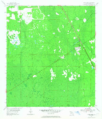
1954 Map of Otter Creek
USGS Topo · Published 1968About this map
Gulf Hammock dominates this mid-century landscape of Levy County, characterized by expansive wetland terrain and scattered settlements. The rail-centered community of Otter Creek serves as a focal point where the Atlantic Coast Line railroad intersects the local geography. Nearby, the smaller settlement of Ellzey sits along the tracks, providing a glimpse into the rural infrastructure that supported this timber and coastal region.
Find a feature on this map
12 named features on this map. Tap any name to fly to it.
Don’t see what you’re looking for? This feature index may not catch every label — zoom into the map to look around manually.
Map Details
Editions of this 1954 Otter Creek Map
3 editions found
Other maps of this area

1954 · Chiefland
USGS Topo · 1:24,000

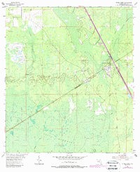
1954 · Otter Creek
USGS Topo · 1:24,000

1954 · Bronson
USGS Topo · 1:24,000

1954 · Manatee Springs
USGS Topo · 1:24,000

1954 · Chiefland SW
USGS Topo · 1:24,000

1954 · Bronson SW
USGS Topo · 1:24,000

1954 · Gainesville
USGS Topo · 1:250,000

1955 · Lebanon Station
USGS Topo · 1:24,000

1955 · Waccasassa Bay
USGS Topo · 1:24,000

1955 · Sumner
USGS Topo · 1:24,000