
1954 Map of Bronson SW
USGS Topo · Published 1956About this map
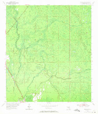
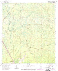
The low-lying hardwood forests and wetlands of Levy County define this mid-1950s survey, dominated by the sprawling Devils Hammock and Gulf Hammock environments. The settlement of Gulf Hammock sits near the confluence of the Wekiva River and the Waccasassa River, serving as a focal point for the region's transport and forestry. This landscape is a complex network of hydrologic features, where Black Prong Creek, Mule Creek, and Magee Branch drain through the dense hammock terrain toward the Gulf. The industrial character of the era is evidenced by the Atlantic Coast Line railroad cutting through the western swamp, while the Wekiva Lookout Tower stands as a vital landmark for fire management in these heavily timbered lands. The map illustrates a period before modern drainage and development significantly altered these Florida wetlands, capturing the intricate relationship between the local rail-and-river network and the natural environment.
Find a feature on this map
12 named features on this map. Tap any name to fly to it.
Don’t see what you’re looking for? This feature index may not catch every label — zoom into the map to look around manually.
Map Details
Editions of this 1954 Bronson SW Map
3 editions found
Other maps of this area

1954 · Chiefland
USGS Topo · 1:24,000

1954 · Otter Creek
USGS Topo · 1:24,000

1954 · Bronson
USGS Topo · 1:24,000

1954 · Gainesville
USGS Topo · 1:250,000

1955 · Lebanon Station
USGS Topo · 1:24,000

1955 · Waccasassa Bay
USGS Topo · 1:24,000

1955 · Tidewater
USGS Topo · 1:24,000

1955 · Bronson NE
USGS Topo · 1:24,000

1955 · Bronson SE
USGS Topo · 1:24,000
1957 · Bronson SE
USGS Topo · 1:25,000