
1955 Map of Tidewater
USGS Topo · Published 1956About this map
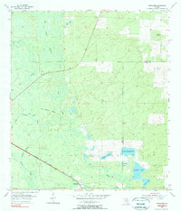
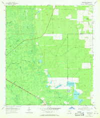
Tidewater serves as the primary rail settlement on this mid-century survey of the Florida Gulf coastal plain, situated along the diagonal path of the Atlantic Coast Line railroad. The landscape is defined by an intricate network of wetlands and seasonal drainages, including Crow Rookery Slough, Tenmile Creek, and Spanish Branch, which wind through the forested Arbor Wolf area. The eastern portion of the quadrangle transitions into a series of distinctive lakes and prairies along the Levy and Marion County line, featuring Bonable Lake and the marshy expanse of Cypress Prairie. Local history is anchored by the Sand Pond Cem located near Sand Pond, providing a specific point of interest for genealogists tracing family ties in this transition zone between the swampy interior and the lime-rock uplands.
Find a feature on this map
19 named features on this map. Tap any name to fly to it.
Don’t see what you’re looking for? This feature index may not catch every label — zoom into the map to look around manually.
Map Details
Editions of this 1955 Tidewater Map
3 editions found
Other maps of this area

1892 · Dunnellon
USGS Topo · 1:62,500

1894 · Dunnellon
USGS Topo · 1:62,500

1895 · Williston
USGS Topo · 1:62,500

1954 · Romeo
USGS Topo · 1:24,000

1954 · Dunnellon
USGS Topo · 1:24,000

1954 · Yankeetown SE
USGS Topo · 1:24,000

1954 · Bronson SW
USGS Topo · 1:24,000

1954 · Dunnellon
USGS Topo · 1:62,500

1954 · Gainesville
USGS Topo · 1:250,000

1955 · Lebanon Station
USGS Topo · 1:24,000