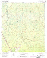
1954 Map of Bronson SW
USGS Topo · Published 1988About this map
Gulf Hammock serves as a central hub for this portion of Levy County, where the iron rails of the Seaboard Coast Line cut through a dense network of hydric terrain. The landscape is defined by the convergence of several significant watercourses, including the Waccasassa River and its tributary, the Wekiva River. This 1954 survey, updated with 1980s data, illustrates the intricate drainage patterns of the area, featuring the namesake Devils Hammock in the northwest and Gulf Hammock in the south. These areas represent a distinct Florida ecosystem where freshwater springs like Spring feed into sluggish creeks such as Mule Creek and Black Prong. For those interested in the history of forest management and fire prevention, the Wekiva Lookout Tower stands as a prominent landmark overlooking the vast reaches of Magee Branch.
Find a feature on this map
13 named features on this map. Tap any name to fly to it.
Don’t see what you’re looking for? This feature index may not catch every label — zoom into the map to look around manually.
Map Details
Editions of this 1954 Bronson SW Map
3 editions found
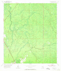
Other maps of this area

1954 · Chiefland
USGS Topo · 1:24,000

1954 · Otter Creek
USGS Topo · 1:24,000

1954 · Bronson
USGS Topo · 1:24,000

1954 · Bronson SW
USGS Topo · 1:24,000

1954 · Gainesville
USGS Topo · 1:250,000

1955 · Lebanon Station
USGS Topo · 1:24,000

1955 · Waccasassa Bay
USGS Topo · 1:24,000

1955 · Tidewater
USGS Topo · 1:24,000

1955 · Bronson NE
USGS Topo · 1:24,000

1955 · Bronson SE
USGS Topo · 1:24,000