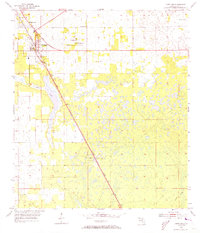
1954 Map of Chiefland
USGS Topo · Published 1973About this map
Chiefland serves as the primary hub of this North Florida landscape, where the Atlantic Coast Line railroad creates a sharp diagonal axis through the terrain. The settlement pattern is defined by a network of rural congregations and burial grounds, including St Johns Ch, Mt Bethel Ch, and Morning Star Ch, which are clustered near Adamsville Cem. To the north, Hardeetown marks a distinct community along the rail line, while the southern reaches of the map show the small junction at Usher.
Find a feature on this map
16 named features on this map. Tap any name to fly to it.
Don’t see what you’re looking for? This feature index may not catch every label — zoom into the map to look around manually.
Map Details
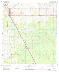
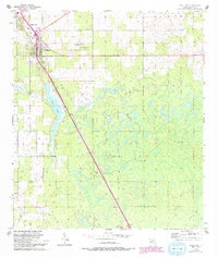
Editions of this 1954 Chiefland Map
4 editions found
Other maps of this area

1954 · Chiefland
USGS Topo · 1:24,000

1954 · Otter Creek
USGS Topo · 1:24,000

1954 · Bronson
USGS Topo · 1:24,000

1954 · Manatee Springs
USGS Topo · 1:24,000

1954 · Chiefland SW
USGS Topo · 1:24,000

1954 · Bronson SW
USGS Topo · 1:24,000

1954 · Gainesville
USGS Topo · 1:250,000

1958 · Gainesville
USGS Topo · 1:250,000

1959 · Gainesville
USGS Topo · 1:250,000

1968 · Newberry SW
USGS Topo · 1:24,000