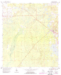
1954 Map of Bronson
USGS Topo · Published 1988About this map
The low-lying wetlands of Devils Hammock dominate this central Florida landscape, where the Waccasassa River drains toward the Gulf. The seat of Levy County, Bronson, sits at the eastern edge of the quadrangle, serving as the primary hub of settlement. This 1950s survey captures the area before modern development, revealing a landscape defined by its hydrology and former industrial pathways. Evidence of earlier timber or transport ventures is found in the Old Railroad Grade that cuts through the hammocks and swamps. To the southeast, Chunky Pond stands out as a significant water feature amidst the dense vegetation and varying terrain that characterizes this portion of the Florida interior during the mid-twentieth century.
Find a feature on this map
8 named features on this map. Tap any name to fly to it.
Don’t see what you’re looking for? This feature index may not catch every label — zoom into the map to look around manually.
Map Details
Editions of this 1954 Bronson Map
3 editions found
Other maps of this area

1954 · Chiefland
USGS Topo · 1:24,000

1954 · Otter Creek
USGS Topo · 1:24,000

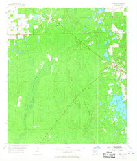
1954 · Bronson
USGS Topo · 1:24,000

1954 · Bronson SW
USGS Topo · 1:24,000

1954 · Gainesville
USGS Topo · 1:250,000

1955 · Bronson NE
USGS Topo · 1:24,000

1955 · Bronson SE
USGS Topo · 1:24,000
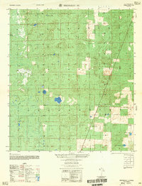
1957 · Bronson SE
USGS Topo · 1:25,000

1958 · Gainesville
USGS Topo · 1:250,000

1959 · Gainesville
USGS Topo · 1:250,000