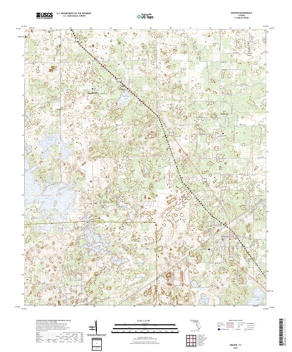
2024 Map of Archer
USGS Topo · Published 2024About this map
Newberry and Archer anchor this Alachua County landscape, where the flatwoods are punctuated by an extensive network of sinkhole ponds and small lakes. The karst topography is evident in the numerous water bodies like Watermelon Pond, Horseshoe Pond, and Half Moon Pond that dot the terrain. Human settlement is organized around long-established road corridors like SW Archer Rd and the Archer Braid Trl, reflecting the historical rail-and-road connections between these rural centers. For those tracing local heritage, the map identifies several distinct burial grounds, including Saint Mark Cem near Half Moon and Saint Peters Cem near Pinesville. The southern portion of the quadrangle marks the transition into the Alachua and Levy County borderlands, featuring a denser concentration of named wetlands such as Gosman Pond and Cubberly Pond.
Find a feature on this map
75 named features on this map. Tap any name to fly to it.
Don’t see what you’re looking for? This feature index may not catch every label — zoom into the map to look around manually.
Map Details
Editions of this 2024 Archer Map
This is the sole edition of this map. No revisions or reprints were ever made.
Other maps of this area

1890 · Arredondo
USGS Topo · 1:62,500

1892 · Arredondo
USGS Topo · 1:62,500

1894 · Arredondo
USGS Topo · 1:62,500

1895 · Williston
USGS Topo · 1:62,500

1954 · Bronson
USGS Topo · 1:24,000

1954 · Gainesville
USGS Topo · 1:250,000

1955 · Bronson NE
USGS Topo · 1:24,000

1958 · Gainesville
USGS Topo · 1:250,000

1959 · Gainesville
USGS Topo · 1:250,000

1966 · Gainesville West
USGS Topo · 1:24,000