
1962 Map of High Springs
USGS Topo · Published 1963About this map
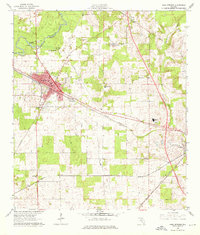
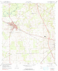
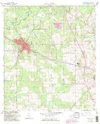
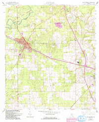
The Santa Fe River meanders along the Columbia Co Alachua Co boundary, defining the northern landscape of this north-central Florida region. The town of High Springs serves as a primary hub, its street grid concentrated near the junction of the Atlantic Coast Line and Seaboard Air Line railroads. These rail corridors, alongside a web of local roads and a Telephone Line, reflect the mid-century infrastructure supporting local industry and agriculture.
Find a feature on this map
35 named features on this map. Tap any name to fly to it.
Don’t see what you’re looking for? This feature index may not catch every label — zoom into the map to look around manually.
Map Details
Editions of this 1962 High Springs Map
5 editions found
Other maps of this area

1890 · Arredondo
USGS Topo · 1:62,500

1892 · Arredondo
USGS Topo · 1:62,500

1894 · Arredondo
USGS Topo · 1:62,500

1954 · Gainesville
USGS Topo · 1:250,000

1958 · Gainesville
USGS Topo · 1:250,000

1959 · Gainesville
USGS Topo · 1:250,000

1962 · Mikesville
USGS Topo · 1:24,000
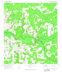
1966 · Worthington Springs
USGS Topo · 1:24,000

1966 · Gainesville West
USGS Topo · 1:24,000
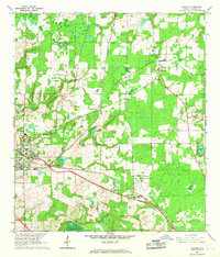
1966 · Alachua
USGS Topo · 1:24,000